


Wednesday weather update
Wednesday weather update


Joined:
X days ago
# Posts:
X,XXX
Contributor Points:
X
Replies:


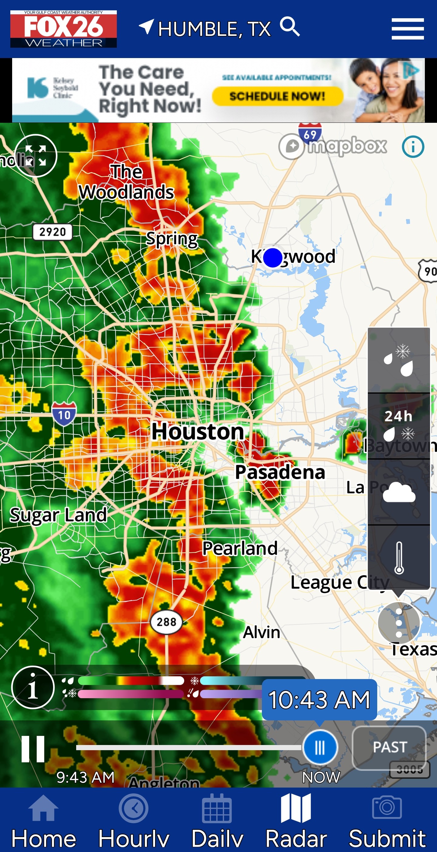
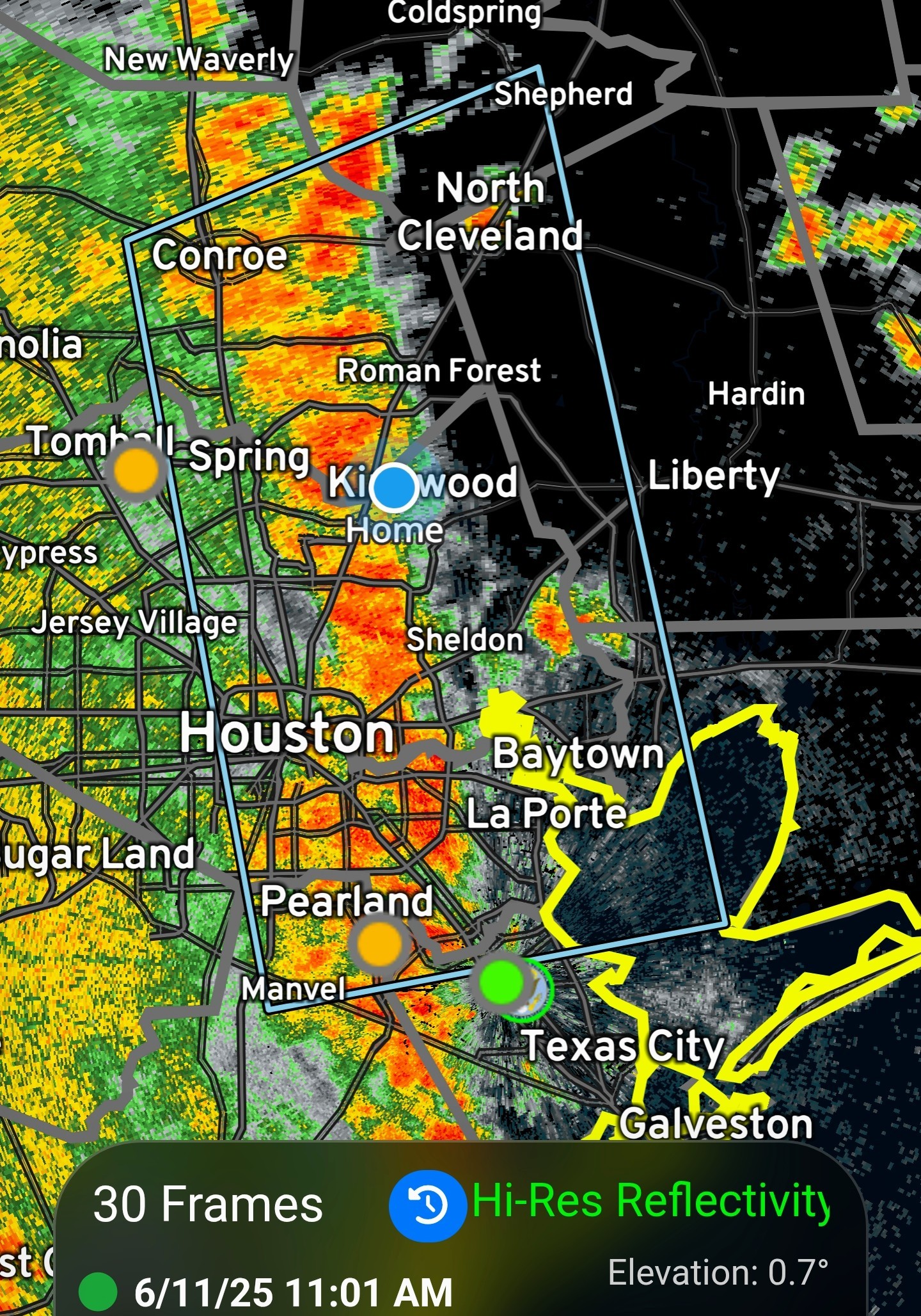
Heavier cells building in front of the line as it moves towards us.

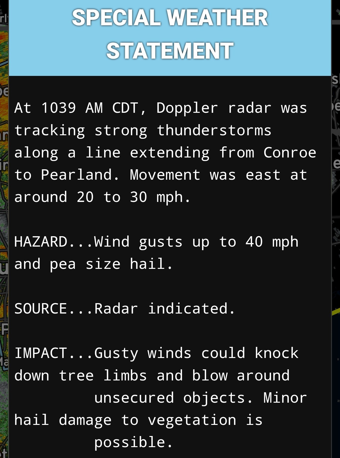
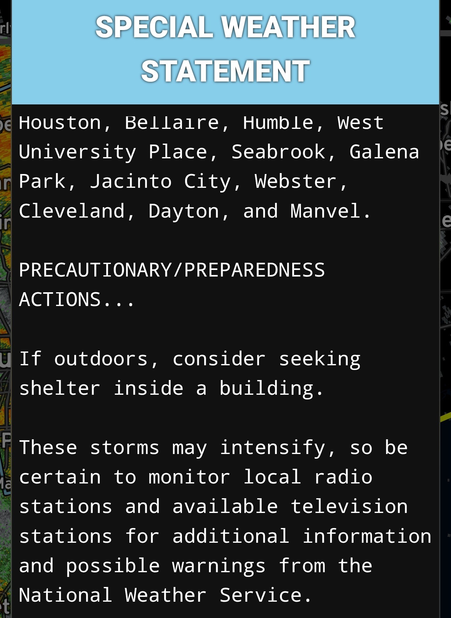
Special Weather Statement At 1039 AM CDT, Doppler radar was tracking strong thunderstorms along a line extending from Conroe to Pearland. Movement was east at around 20 to 30 mph. HAZARD...Wind gusts up to 40 mph and pea size hail. SOURCE...Radar indicated. IMPACT...Gusty winds could knock down tree limbs and blow around unsecured objects. Minor hail damage to vegetation is possible. Locations impacted include... Pasadena, Pearland, League City, Baytown, Conroe, Friendswood, La Porte, Deer Park, Alvin, South Houston, Bellaire, Humble, West University Place, Seabrook, Galena Park, Jacinto City, Webster, Cleveland, Dayton, and Manvel
A nice soaking moderate rain behind the line too. Gonna be a wet day.
Heavier cells building in front of the line as it moves towards us.
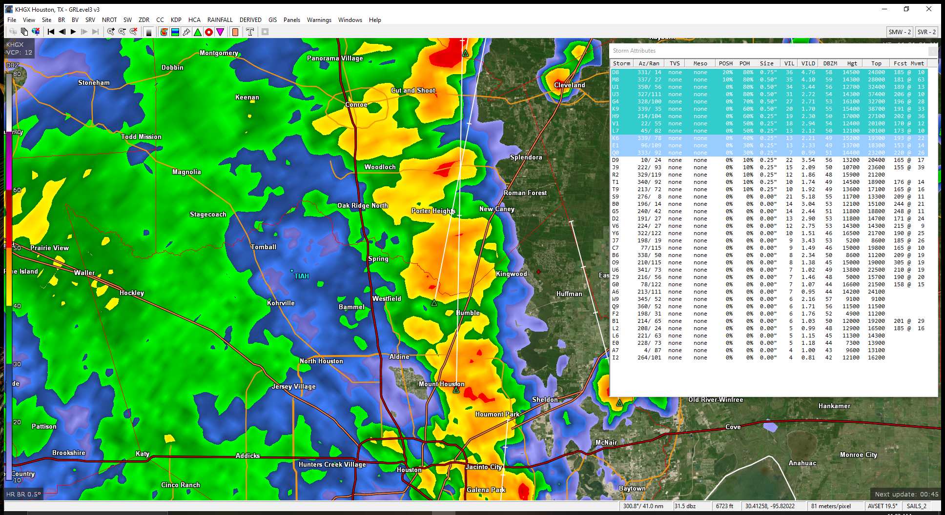
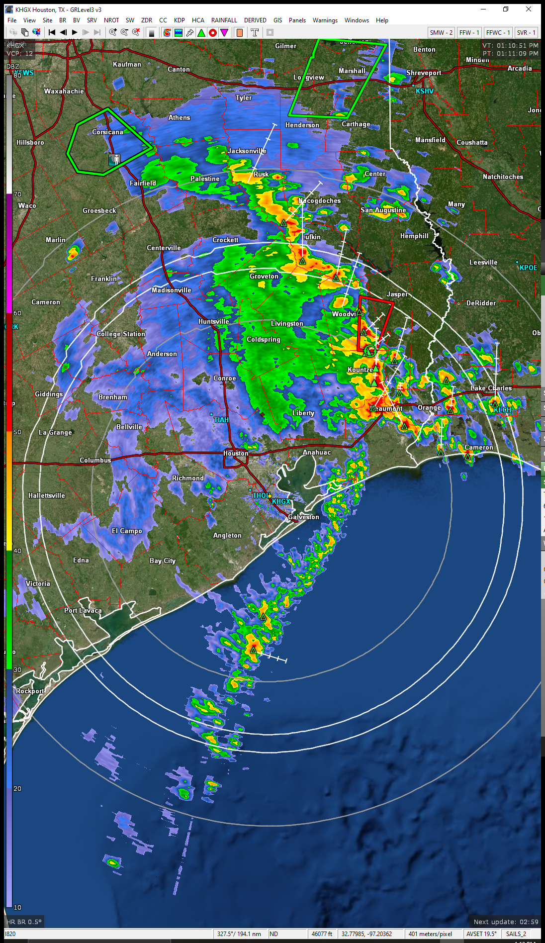
 jonesjones12 : We have a bubble of 0 Bulk Shear around us. It wants to choke, but the outflow may give life to the southern cells.
I feel like we are going to lose power at any moment. It's loud, windy and crazy over here by St. Martha's church on NP.
 malpalface
 FreebyrdII
Current radar @ 11:55AM 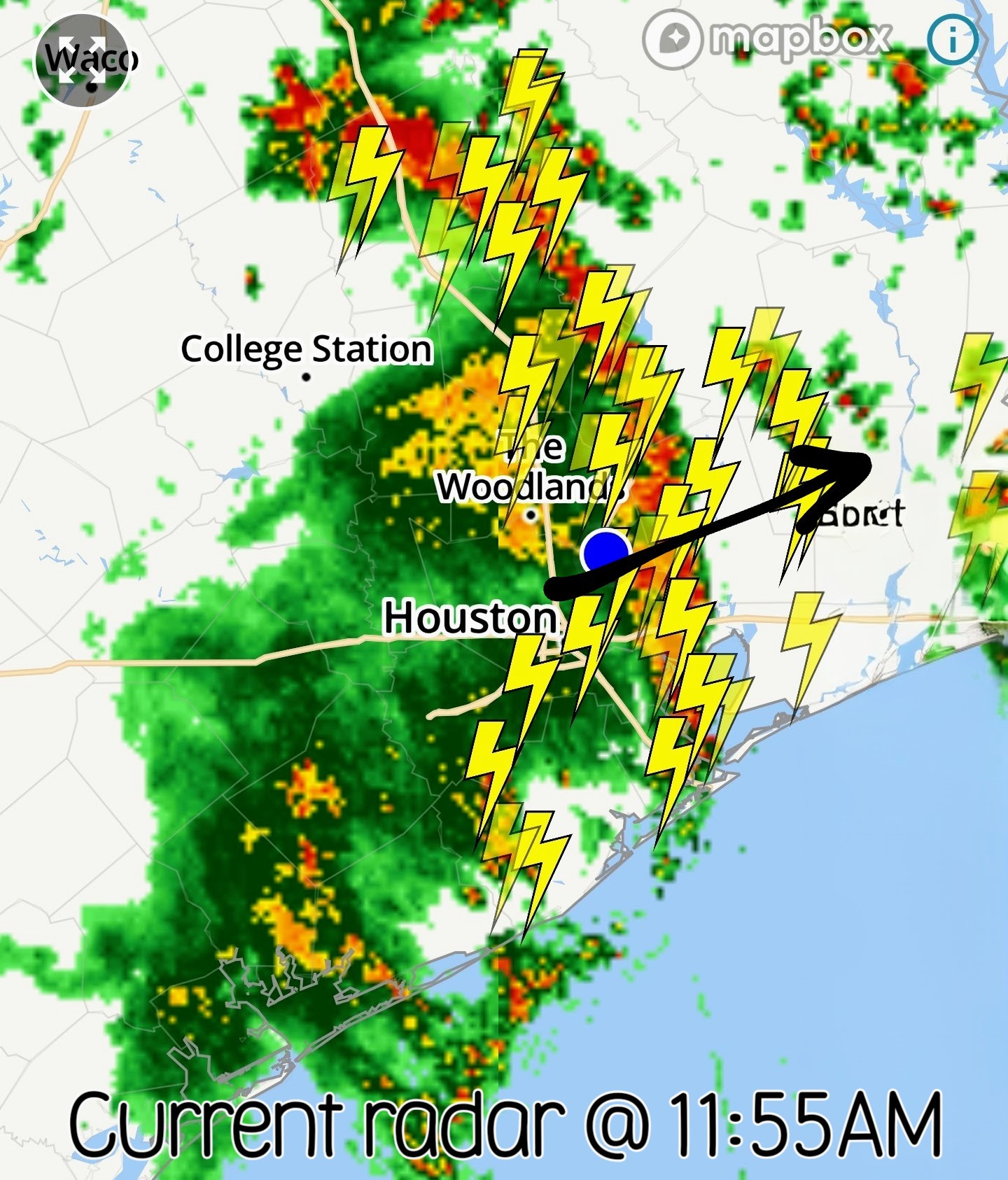 Future radar @ 545PM today. I'm not entirely sure those will come together after these morning storms but we'll see.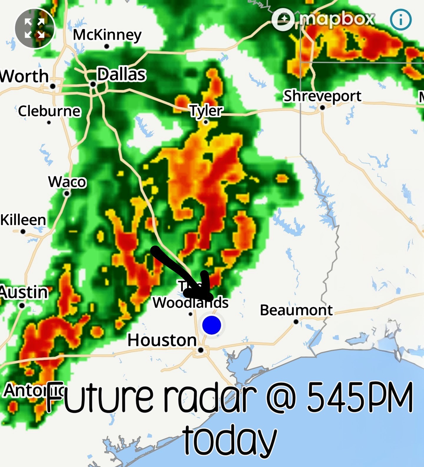
 Slow4x4

 GiggleMugs
« Back to Chat
Views: 1,355
# Replies: 31