


Tuesday's forecast
Tuesday's forecast


Joined:
X days ago
# Posts:
X,XXX
Contributor Points:
X


Tuesday's forecast Look for scattered showers & thunderstorms, coming from the coast, throughout the day. Not everyone will see rainfall but the chances are there - From Space City Weather - Houston faces a healthy chance of showers today and Wednesday, but nothing too serious. Eric Berger · Tuesday, June 24, 2025 6:43 AM In brief:
*Showers and thunderstorms are likely across the greater Houston region today, starting near the coast and spreading inland, and Wednesday.
*We don't expect them to be too disruptive.
*We should then dry out for a few days before another round of showers on Sunday or Monday. TUESDAY and WEDNESDAY -- *The Houston region will experience slightly cooler weather, along with widespread showers and thunderstorms, during the next two days as the region's atmosphere becomes unsettled.
*Although these showers will be most prominent during the daytime hours, some rain will also be possible during the overnight hours. *If you've lived in Houston for any period of time, you know generally what to expect: -These storms will be hit or miss, with some areas seeing gusty winds and briefly heavy rainfall (and possibly small hail) whereas two neighborhoods over may only see dark skies.
-Most of these showers should be quick to move through, so we don't expect widespread flooding issues.
-On average, most locations should pick up about 0.5 inch of rain over the next two days, but rain totals will vary widely.
*Depending on the timing of rainfall at your locations, high temperatures are likely to range between the mid-80s and lower-90s.
*Skies will be partly sunny with generally light winds (outside of thunderstorms) at 5 to 10 mph.
*Nights remain warm and muggy. 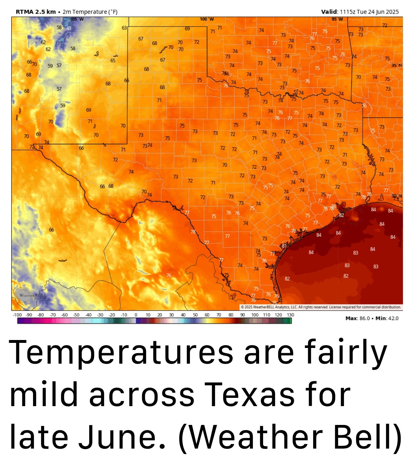


*Showers and thunderstorms are likely across the greater Houston region today, starting near the coast and spreading inland, and Wednesday.
*We don't expect them to be too disruptive.
*We should then dry out for a few days before another round of showers on Sunday or Monday.
*Although these showers will be most prominent during the daytime hours, some rain will also be possible during the overnight hours.
-Most of these showers should be quick to move through, so we don't expect widespread flooding issues.
-On average, most locations should pick up about 0.5 inch of rain over the next two days, but rain totals will vary widely.
*Depending on the timing of rainfall at your locations, high temperatures are likely to range between the mid-80s and lower-90s.
*Skies will be partly sunny with generally light winds (outside of thunderstorms) at 5 to 10 mph.
*Nights remain warm and muggy.
Replies:

StormChaser : It's almost cool out this morning! I said almost.
GiggleMugs : I am headed out soon to cut grass. Thank goodness it is a bit "less oppressive".
Noon and the radar is still quiet. Future radar scans show activity picking up after 3 or 4pm. 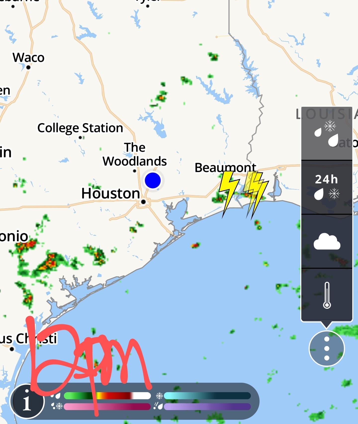
Noon and the radar is still quiet. Future radar scans show activity picking up after 3 or 4pm.
StormChaser : Bring it! Got the grass cut!
cbear : I admire you for mowing your own lawn! I loved doing it when I was younger!
GiggleMugs : Awww thanks friend! I am thankful that I still am able to do it. Thankful for 2 working legs and 2 working arms. Thankful too......when the job is done! LOL~!
2:15PM - storms to our east, moving west. Let's hope the southern edge keeps developing. That way we get some rain here in Kingwood. 
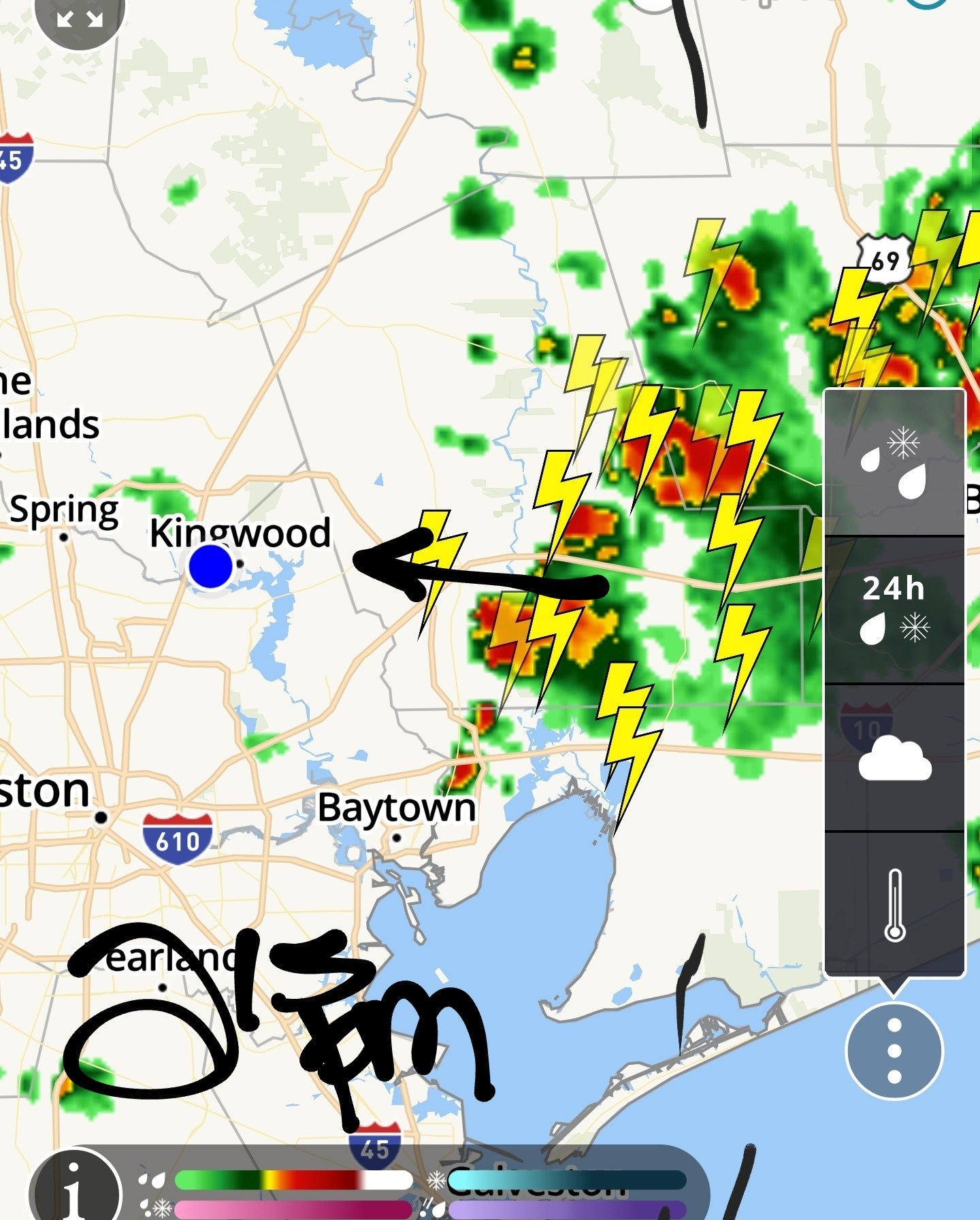
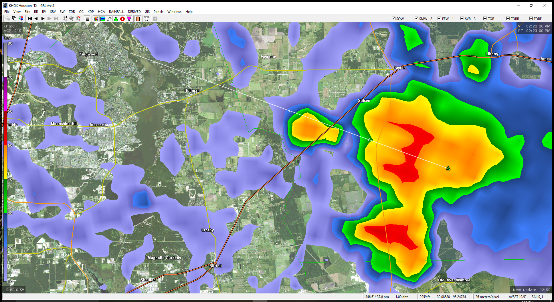
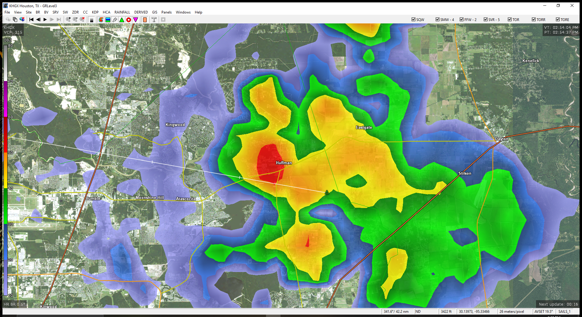
3pm Large cell moving towards Kingwood. 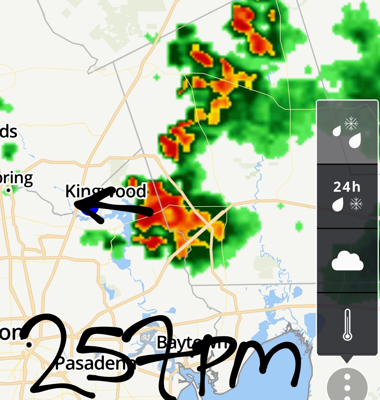
I am thankful that I still am able to do it.
cbear : In our good old Kingwood days I cut the grass when we were there. Slope on the front yard to the street was a bit challenging, as was the swale, but that hill kept our house out of rising waters. I used a self-propelled battery-operated mower -- don't remember the brand, but it was green -- so mowing the level back yard was really easy. « Back to Chat
Views: 805
# Replies: 21