


Special Weather Statement
Special Weather Statement


Joined:
X days ago
# Posts:
X,XXX
Contributor Points:
X
Replies:


 Txbutterfly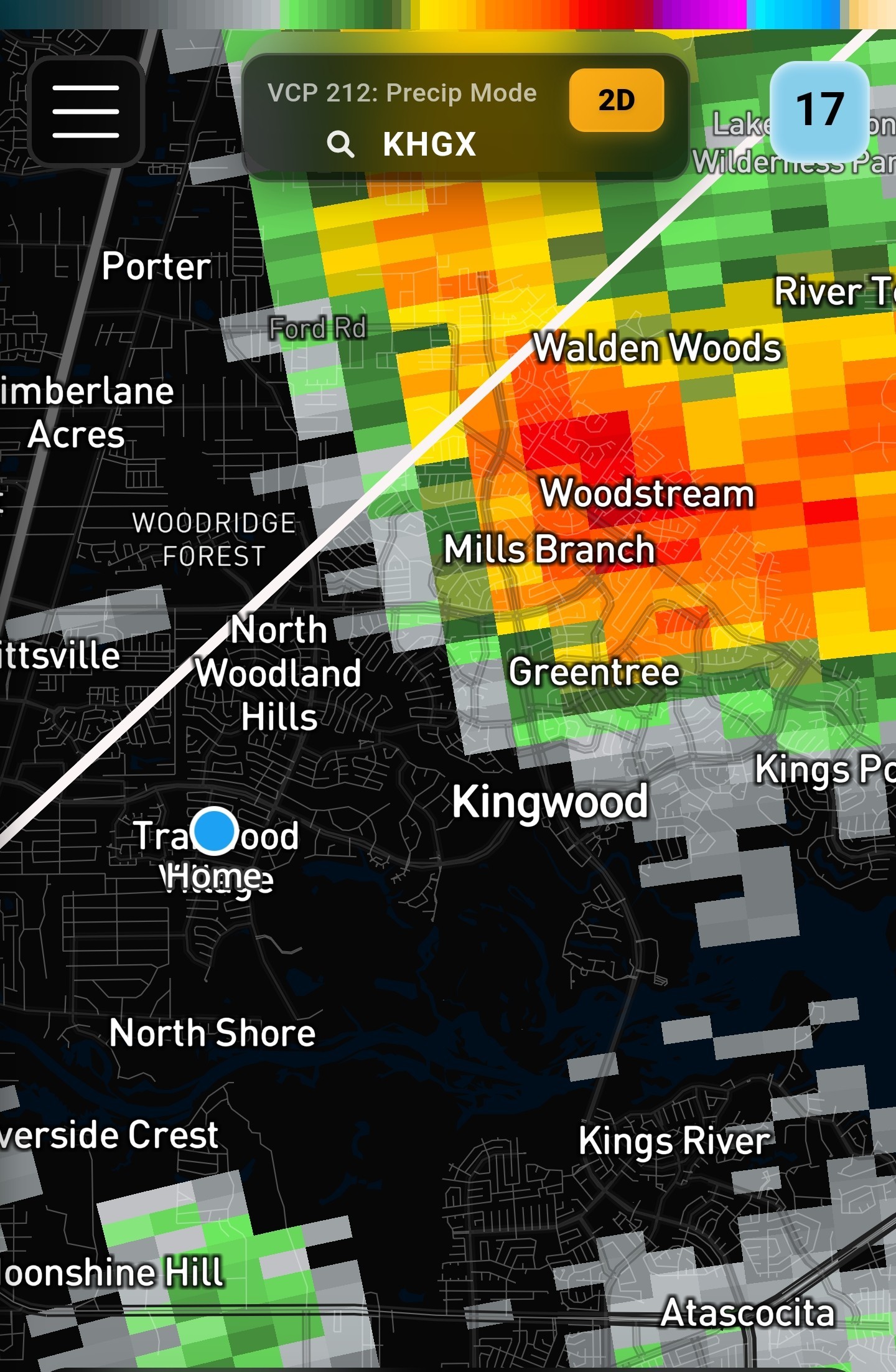
 Ruger5
Drove downtown earlier and it was horrible . Much better coming back
cbear : Ive moved on to cold brew. Just in case i keep a couple of cans in the fridge. I cannot do anything without caffeine.
 luv2eatsushi : Smart move. It just sucks that as nice as Kingwood is, we have to deal with so many potential and actual power outages.
Special Weather Statement I'll post Weather warnings we get here. This one doesn't include us yet but it's just to our west. 5:15PM Special Weather Statement National Weather Service At 438 PM CST, Doppler radar was tracking a cluster of strong thunderstorms along a line extending from 6 miles northeast of Pinehurst to near Cypress. Movement was northeast at 15 mph. HAZARD...Wind gusts up to 40 mph. SOURCE...Radar indicated. IMPACT...Gusty winds could knock down tree limbs and blow around unsecured objects. Locations impacted include... Southern Conroe, Tomball, Jersey Village, Aldine, The Woodlands, Greater Greenspoint, Spring, northern Addicks Park Ten, Oak Ridge North, Shenandoah, Cut And Shoot, Woodloch, Bush Intercontinental Airport, The Woodlands Pavillion, Chateau Woods, Willowbrook, Hooks Airport, Cypress, Hurricane Harbor Splashtown, and Porter Heights. PRECAUTIONARY/PREPAREDNESS ACTIONS... If outdoors, consider seeking shelter inside a building. Heavy rainfall is also occurring with these storms and may lead to localized flooding. Do not drive your vehicle through flooded roadways. These storms may intensify, so be certain to monitor local radio stations and available television stations for additional information and possible warnings from the National Weather Service. 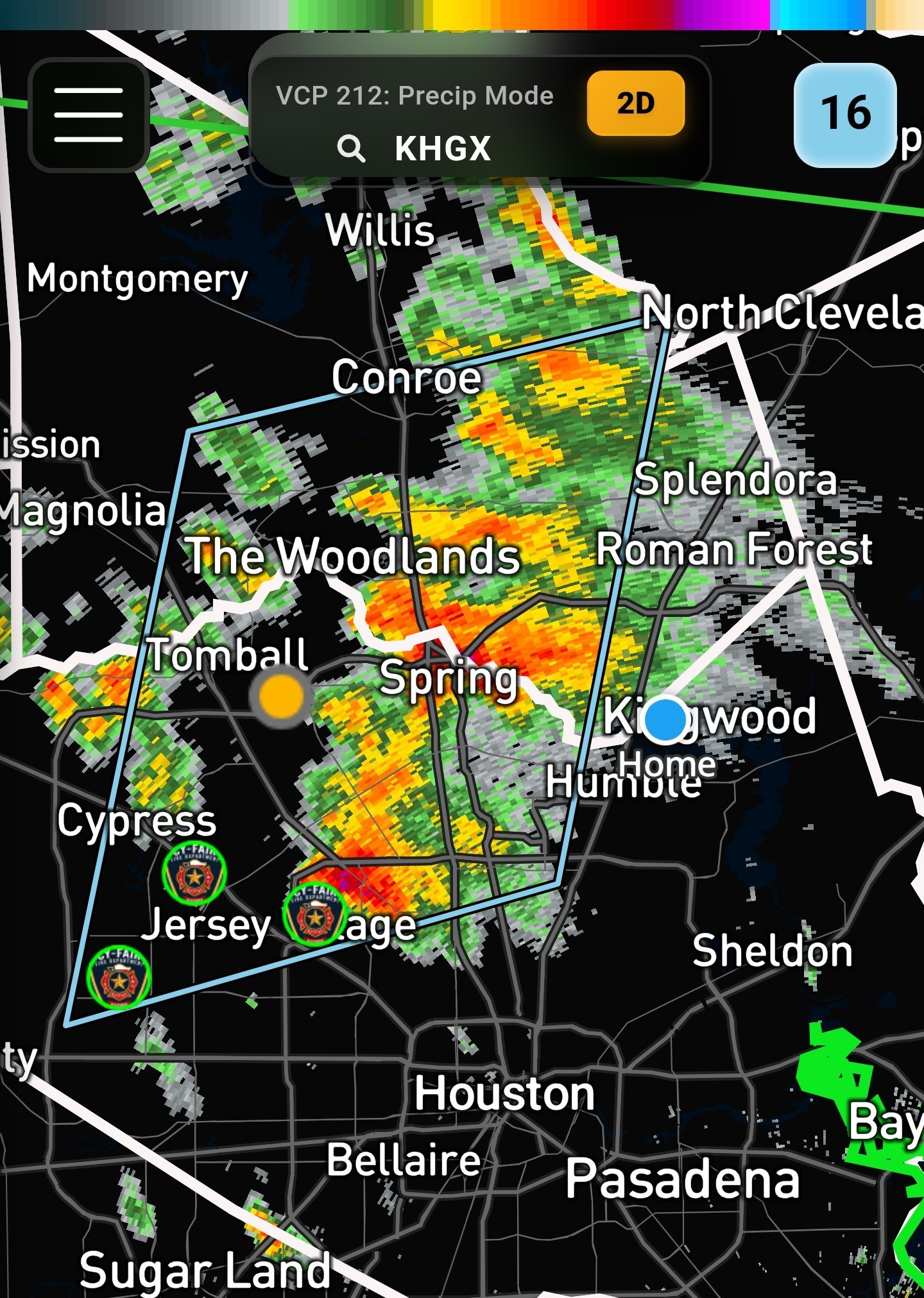
 Fireba11 tipped
  StormChaser 100 credits for a post in this forum discussion.
 « Back to Chat
Views: 1,176
# Replies: 22