


Space City Weather 3PM update
Space City Weather 3PM update


Joined:
X days ago
# Posts:
X,XXX
Contributor Points:
X


Space City Weather 3PM update ❇️ Updated afternoon thread with an update from Space City. ❇️ Line of strong to severe storms, currently near College Station, is headed our way. 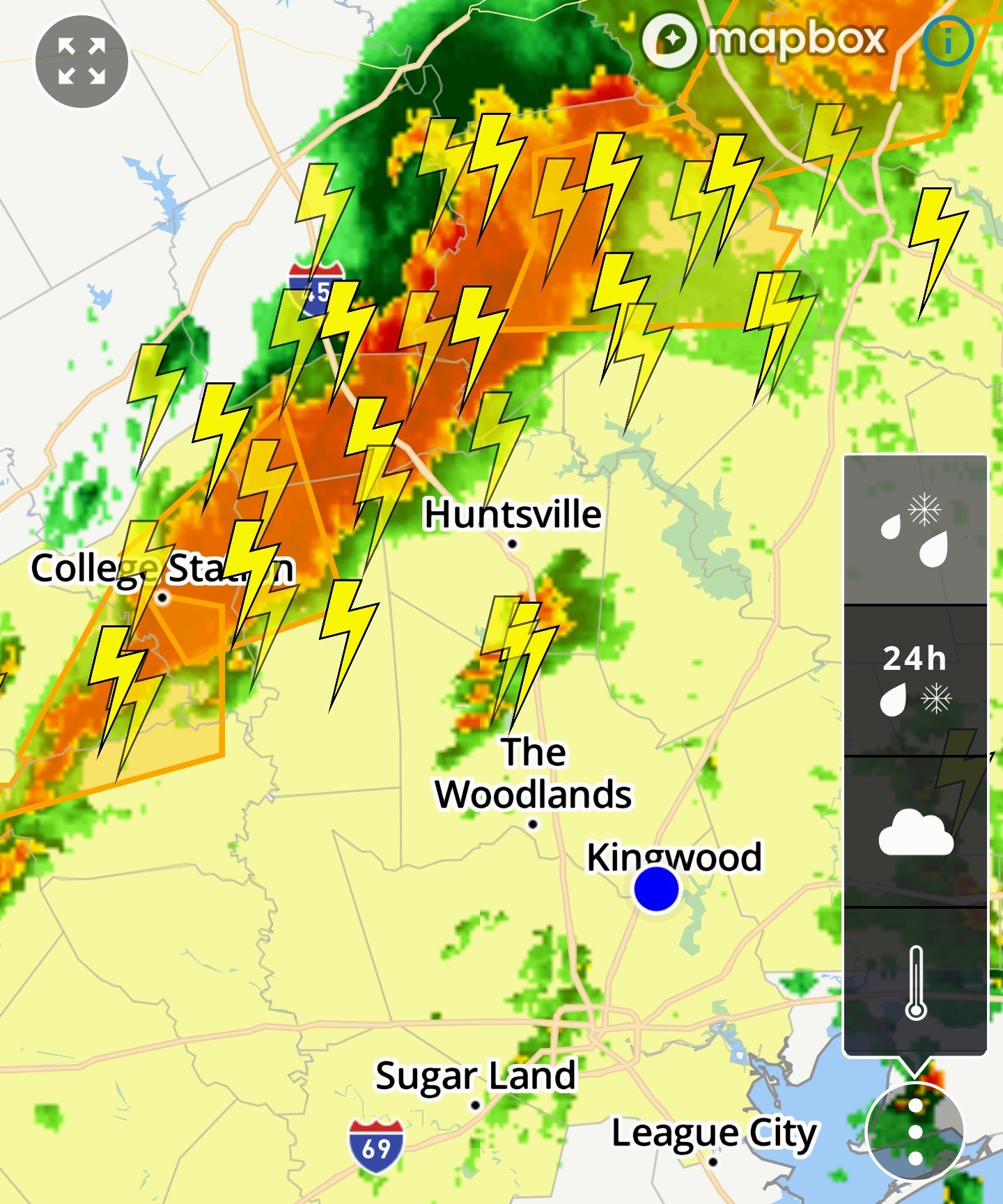 Line of storms advancing on Houston, most of region likely to see impacts over the next 12 hours. Eric Berger · Tuesday, May 6, 2025 3:00 PM In brief: ❇️ The next 12 to 24 hours will bring the potential for severe weather into the greater Houston region.
❇️ Impacts include heavy rainfall that may lead to street flooding, damaging winds, large hail, and potentially tornadoes. Please be weather aware. ❇️ So far, today, the Houston region has been spared direct impacts from severe weather.
❇️ The storms have remained well north and west of our area. However, that is likely to change in the next few hours as a line of storms, now impacting the College Station areas, is advancing from the west. ❇️ These storms will likely reach the northern half of the Houston area this afternoon and early evening.
❇️ They will bring all of the threats described above, and may make a mess of the Tuesday evening commute for areas along and north of Interstate 10.
❇️ Not everyone will experience strong storms, but the risk is there. 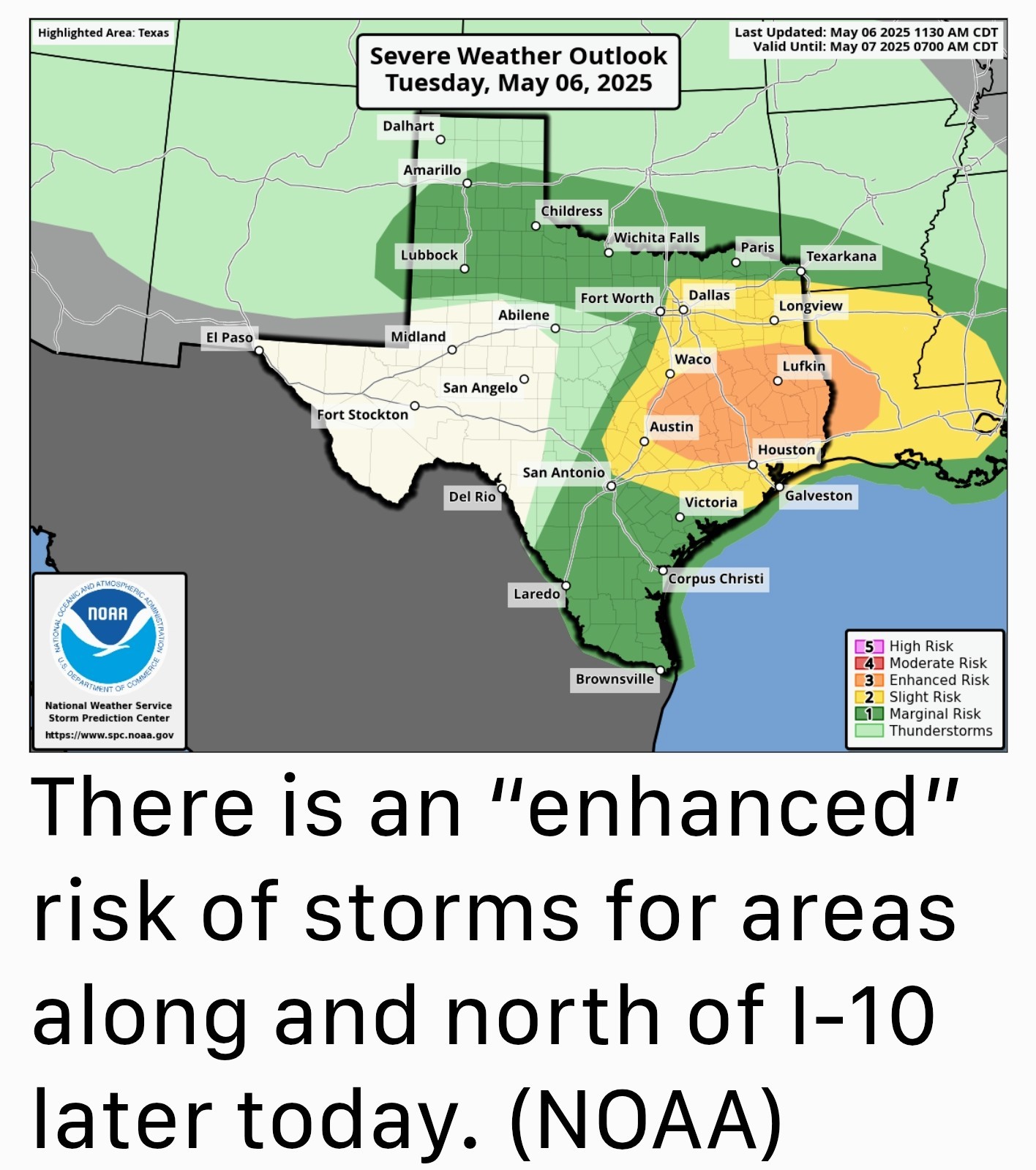 ❇️ This evening, and into Wednesday morning, these storms will probably spread across the entire region, including into coastal counties ❇️ The storms will lose some of their severity tonight, with the loss of daytime heating.
❇️ This will diminish the threat of tornadoes and hazards such as damaging winds and hail but the potential for strong thunderstorms and heavy rain will persist. ❇️ By Wednesday morning, the majority of action will likely have shifted to the coast, or possibly be pushed offshore.
❇️ Even so, you'll want to remain weather aware as you get up and about on Wednesday morning. Just to repeat myself here: 🚨 Not everyone is going to be bombarded by severe weather, but the atmosphere above our region appears to be primed for storms during the next 12 hours - or a little longer. 🚨 Please remain weather aware this afternoon, evening, and on Wednesday morning.


**************
❇️ Impacts include heavy rainfall that may lead to street flooding, damaging winds, large hail, and potentially tornadoes.
❇️ The storms have remained well north and west of our area. However, that is likely to change in the next few hours as a line of storms, now impacting the College Station areas, is advancing from the west.
❇️ They will bring all of the threats described above, and may make a mess of the Tuesday evening commute for areas along and north of Interstate 10.
❇️ Not everyone will experience strong storms, but the risk is there.
❇️ This will diminish the threat of tornadoes and hazards such as damaging winds and hail but the potential for strong thunderstorms and heavy rain will persist.
❇️ Even so, you'll want to remain weather aware as you get up and about on Wednesday morning.
Replies:
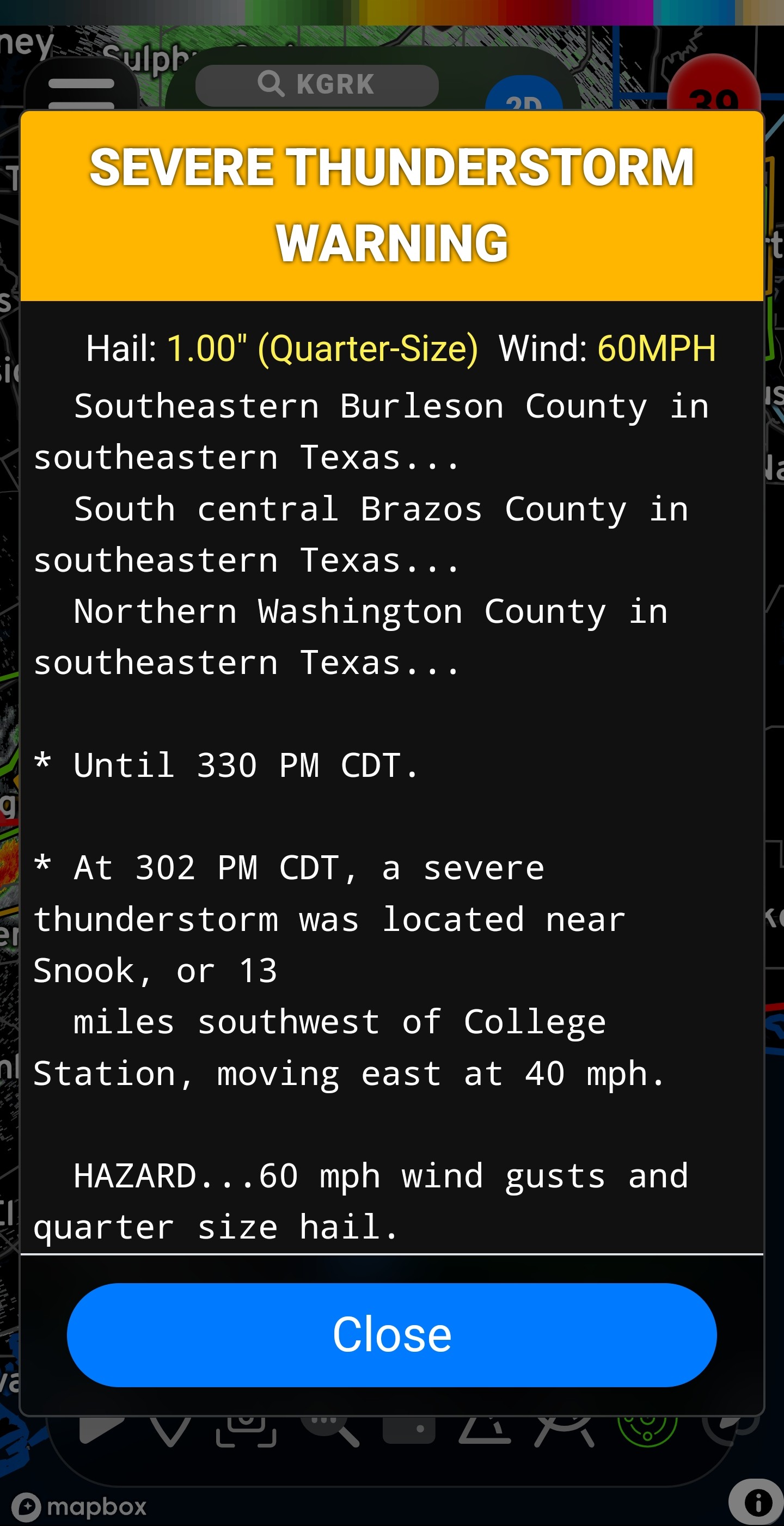
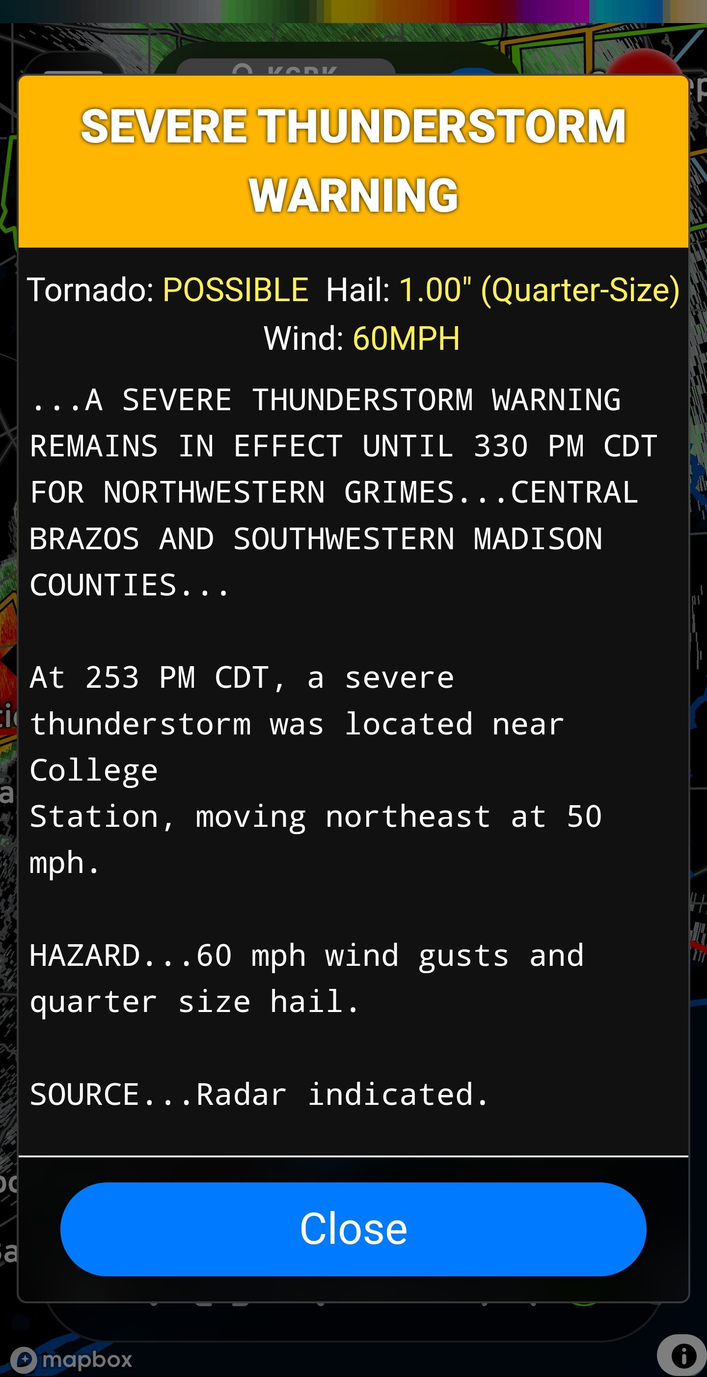
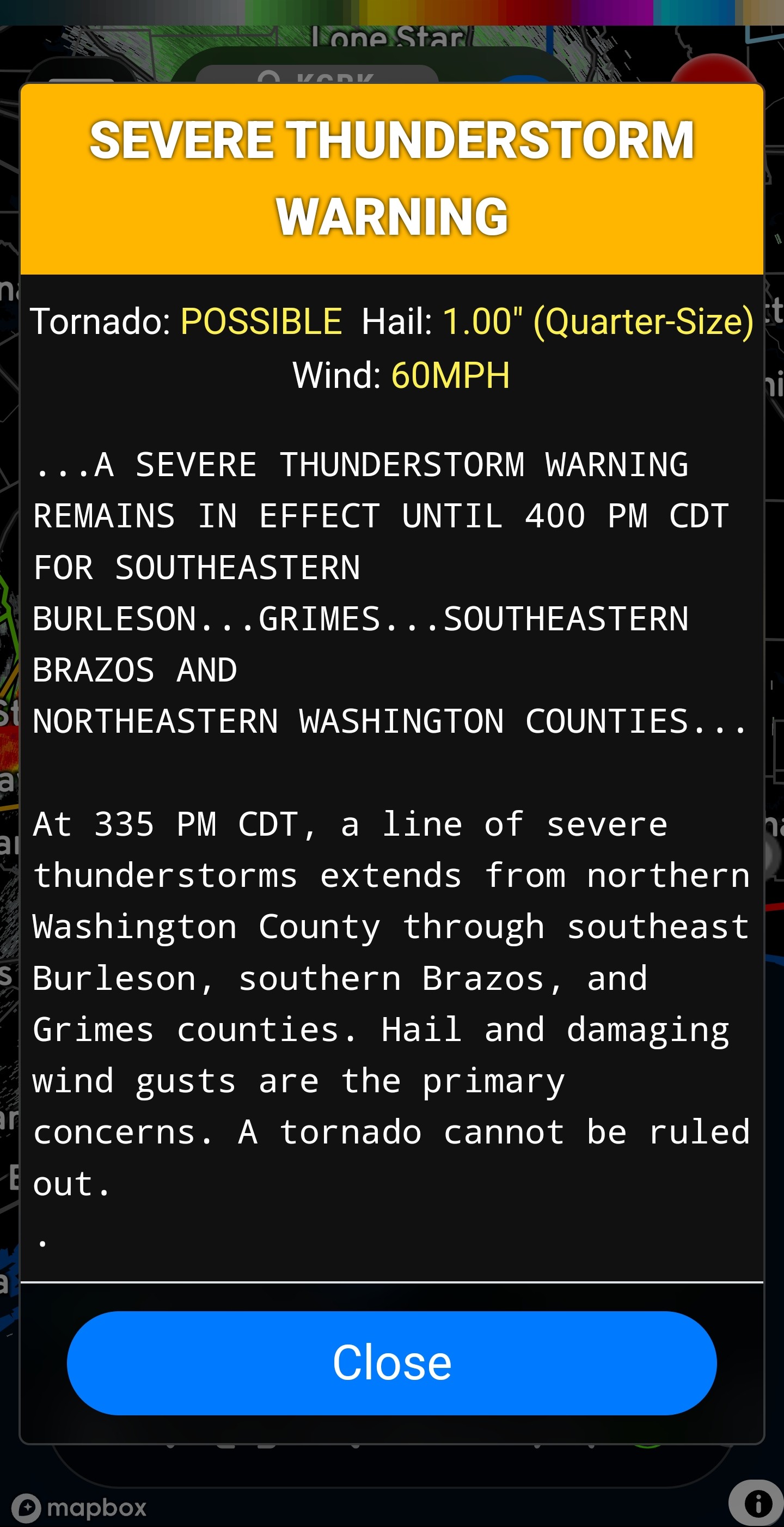
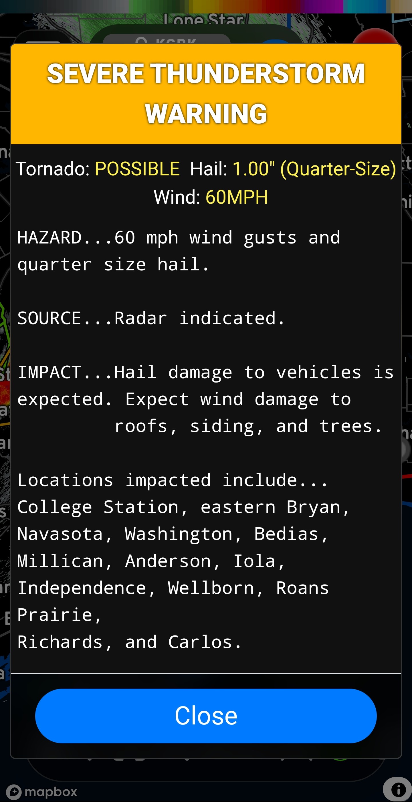
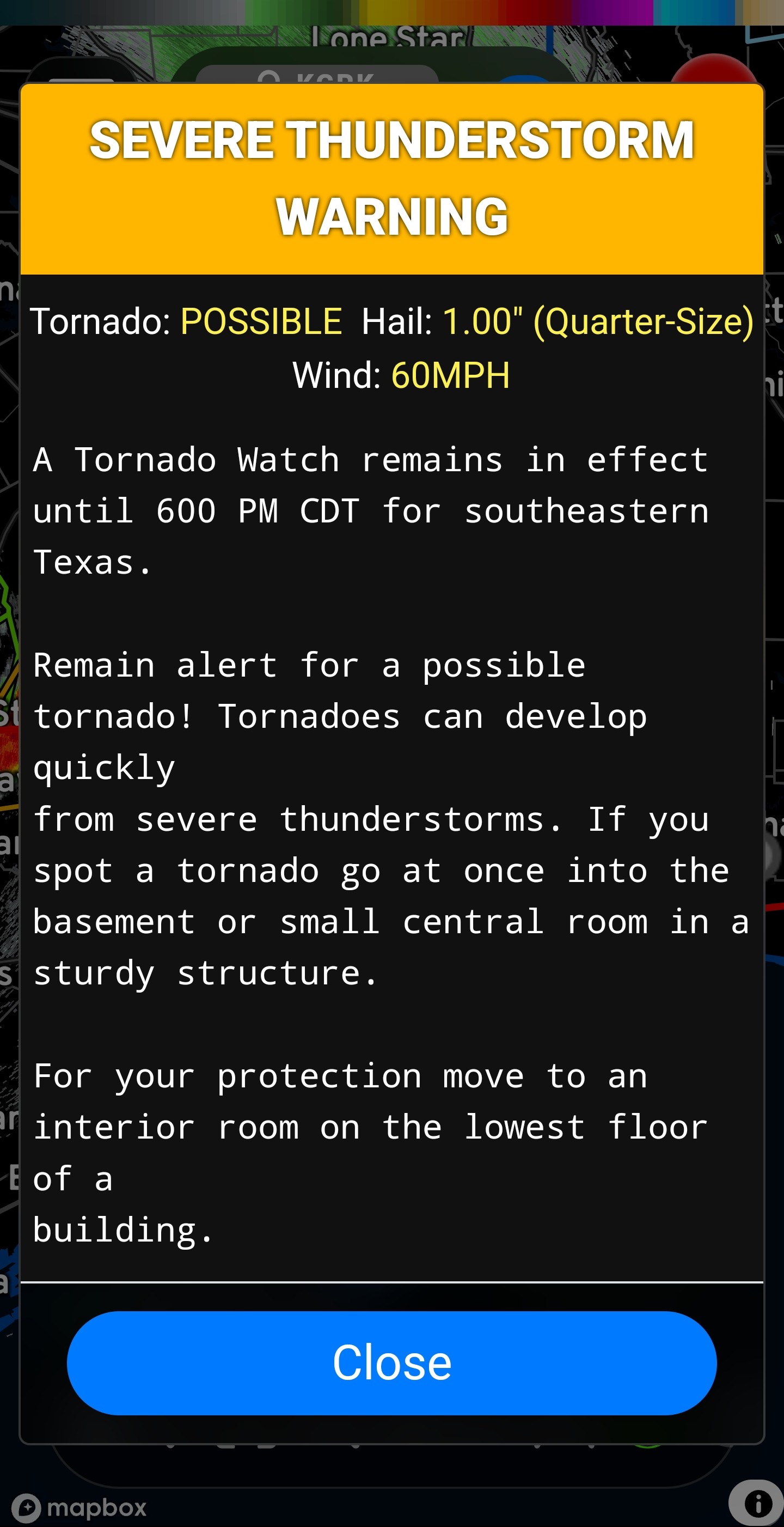
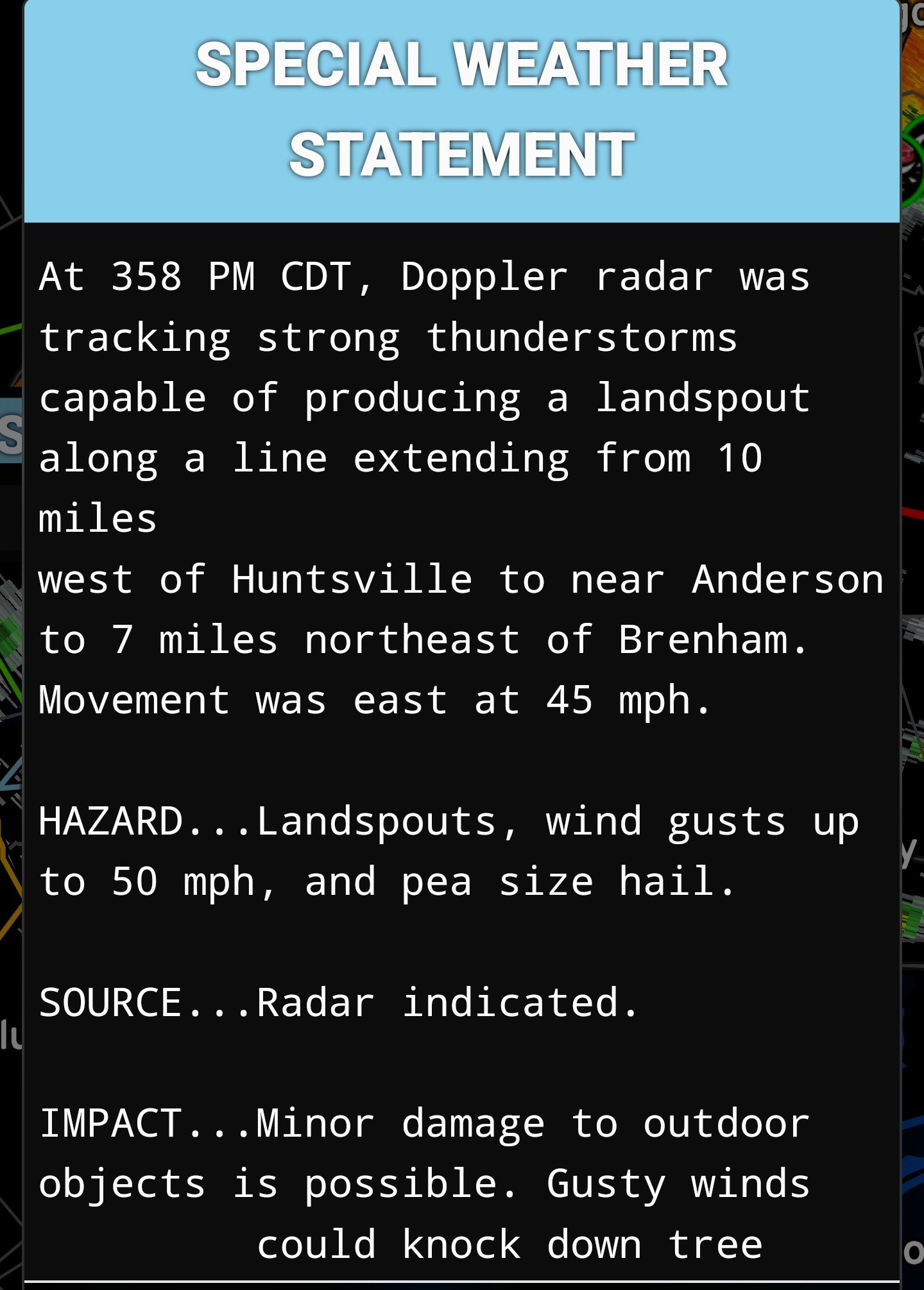
Current warning at 3:40PM for the Bryan/College Station/Navasota area. This cell is embedded in the line heading our way. 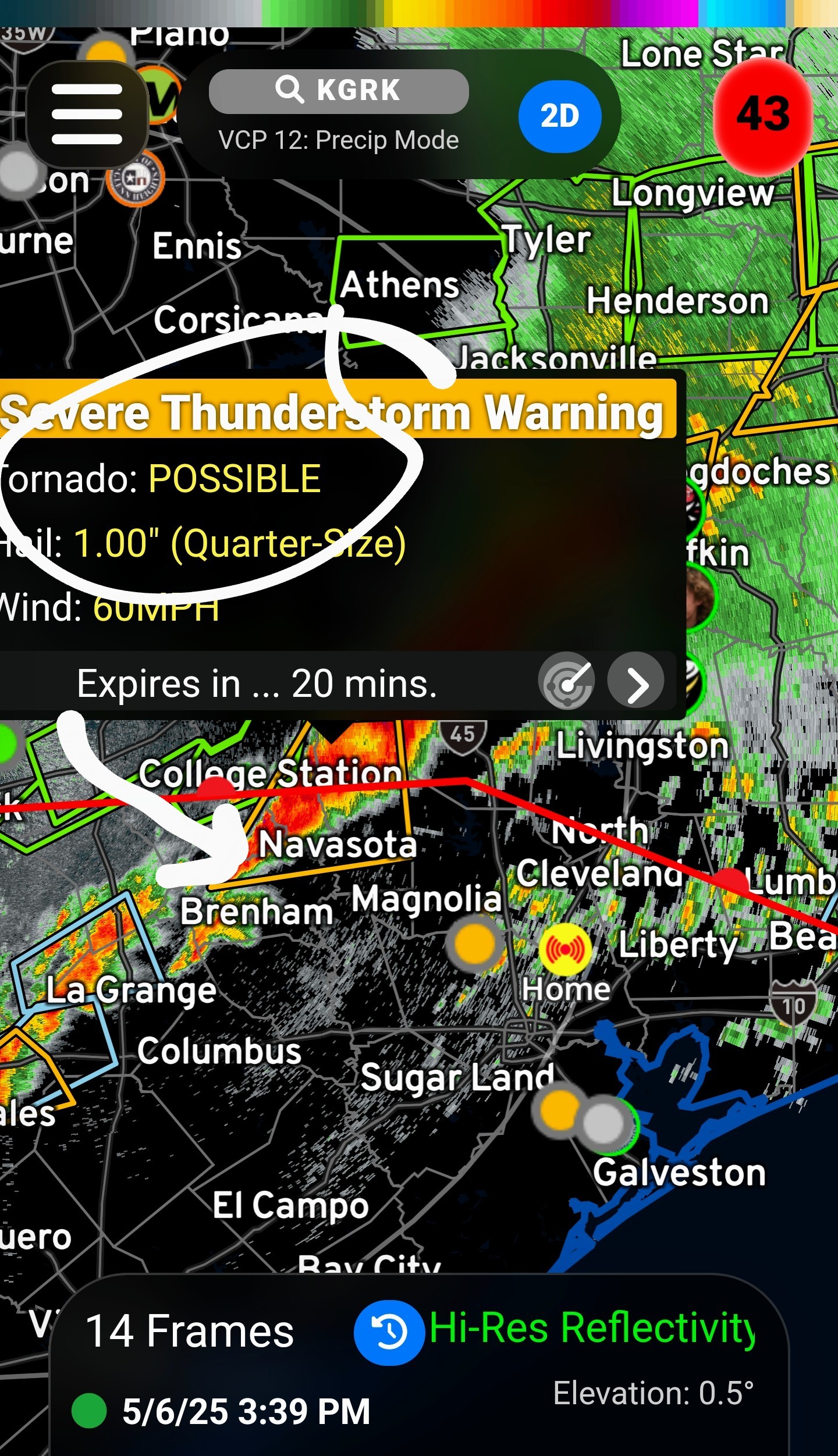
 In other news, tornado on the ground to the southwest of Shreveport. Traffic cameras are down and debris has been reported. 😬
Current warning at 3:40PM for the Bryan/College Station/Navasota area. This cell is embedded in the line heading our way. In other news, tornado on the ground to the southwest of Shreveport. Traffic cameras are down and debris has been reported. 😬
StormChaser : Oh no. I hope no one was hurt.
In other news, tornado on the ground to the southwest of Shreveport. Traffic cameras are down and debris has been reported. 😬
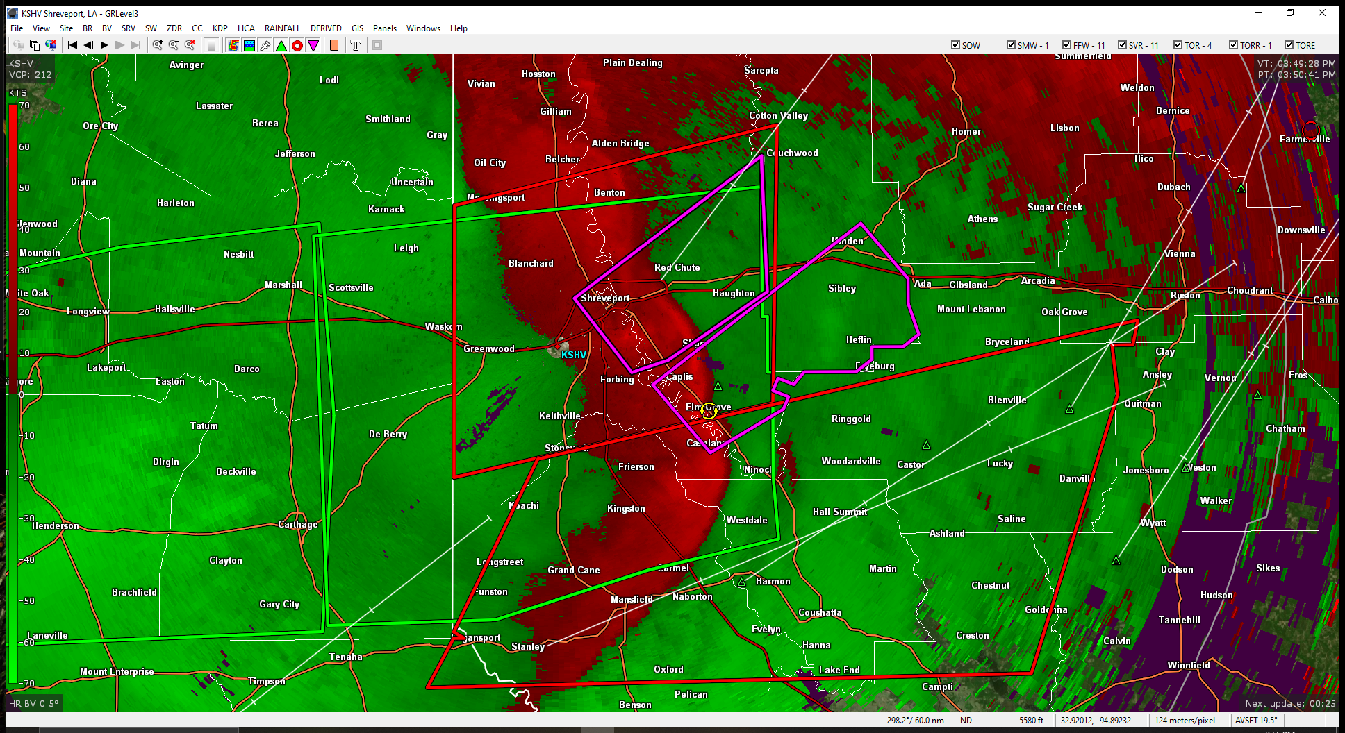 StormChaser : Yea, it does have a narrly squall line
4:20PM radar Heavy showers in Trailwood for the last 15 minutes or so. As far as the line, at this speed, it will probably be after 6pm by the time the main line comes thru. 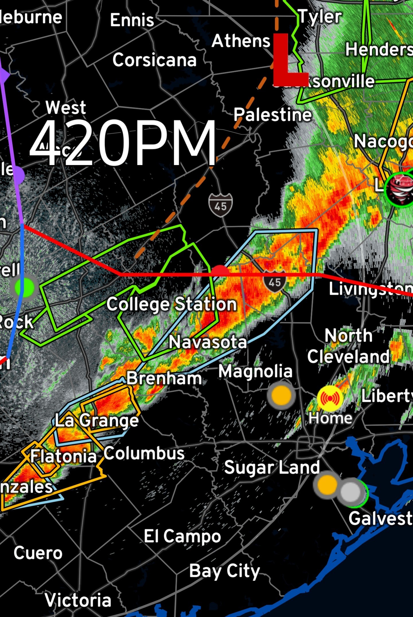
StormChaser : Ch 2 saying the worst of it looks to be staying North of us; we sure do need some rain, just not the drama! Thanks for all of the updated info.
I just got home from driving in from Dallas on I-45. That was very sporty, to say the least. I crossed that line of weather in the Madisonville area, it was almost impossible to see. To make matters worse are the folks who insist on putting their emergency flashers on. It's not bad enough to have a windshield covered in water,, but now I have these super bright lights pulsing in my eyes. That doesn't help, folks. It makes matters even worse. Its very hard to determine rate of closure on the car in front of you in bad visibility when you're semi blinded by the strobe like pulsing lights on the back of it reflecting like a prism off of the layer of water on your windshield. Turning on your lights is a huge help. 4 way flashers present more of a hazard than they prevent.
Ticagro : Were they driving with them on or stalled with them on? Are you sure they were emergency flashers and not a fleet of angry police you miraculously avoided like in a Burt Reynolds flick? Stormy and the Bandit tip situation.
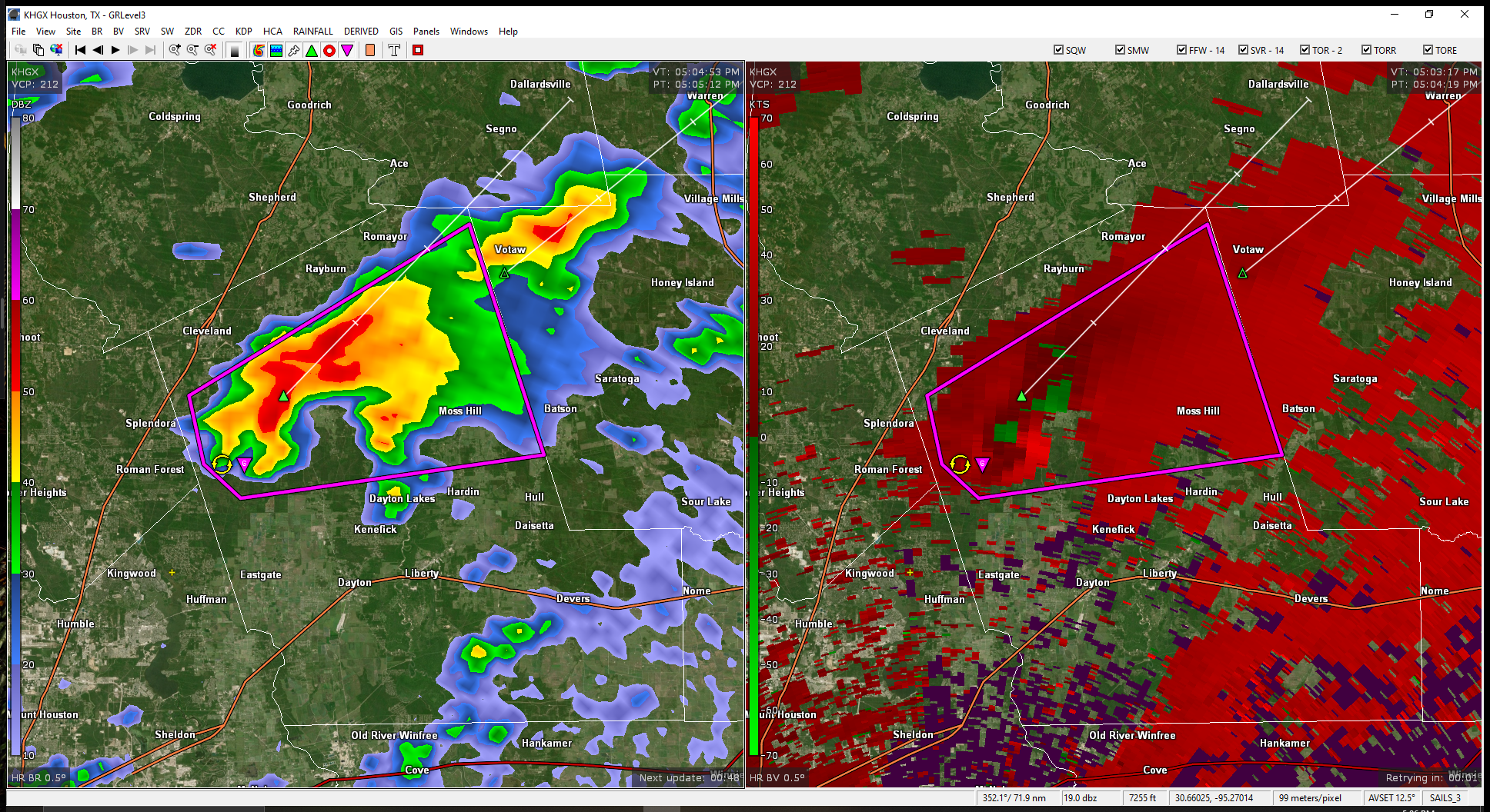
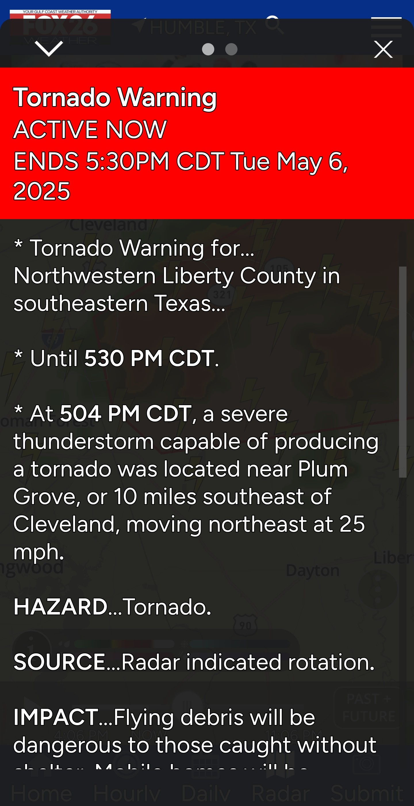
Tornado warning- 321 south of 59, in Liberty county. * NOT a threat to Kingwood* 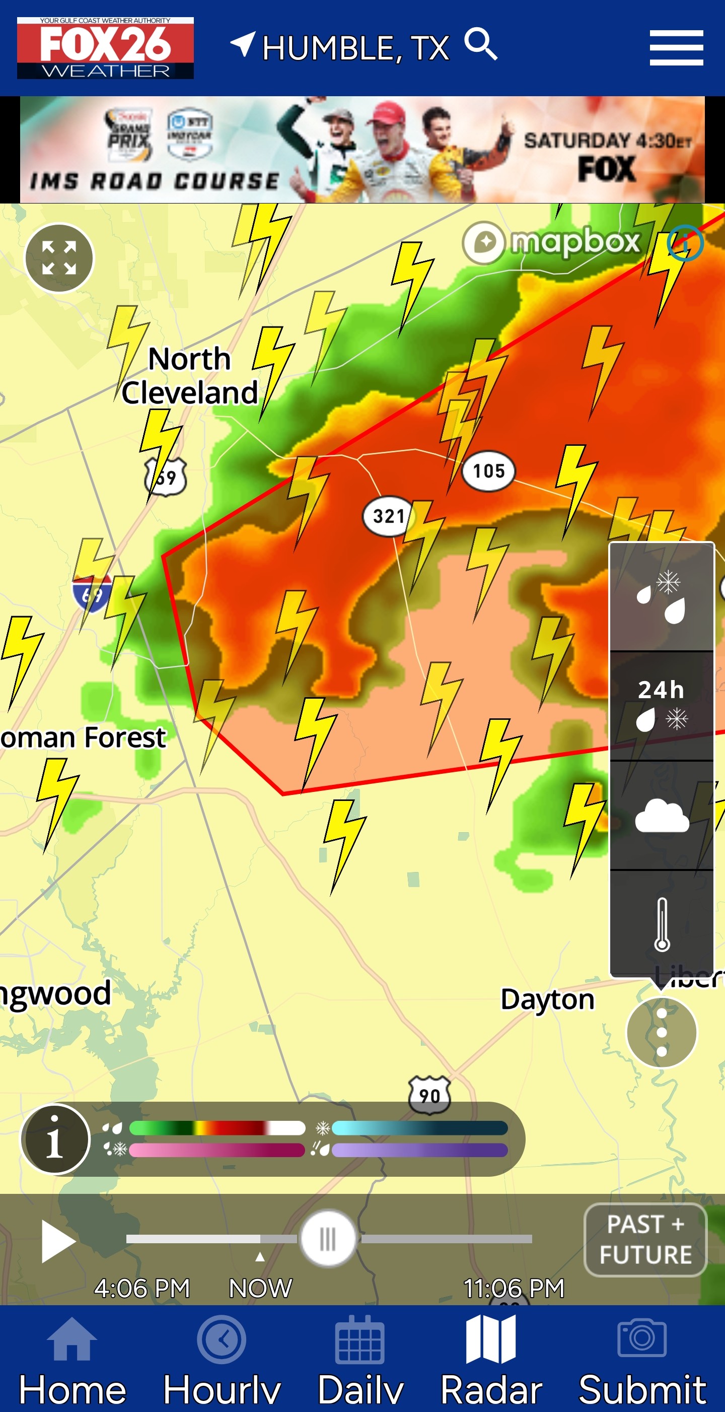
 Slow4x4 watching this
Slow4x4 watching this
Tornado warning- 321 south of 59, in Liberty county. * NOT a threat to Kingwood* Slow4x4 watching this
StormChaser : yeah, it's in my spot where I was parked last storm and where I would be today.
StormChaser : I've used my flashers once when my car stalled once and I ended up with two cars being part of my car. I don't think people are understanding how they work.
Ticagro : Were they driving with them on or stalled with them on? Are you sure they were emergency flashers and not a fleet of angry police you miraculously avoided like in a Burt Reynolds flick? Stormy and the Bandit tip situation.
« Back to Chat
Views: 1,526
# Replies: 26