


Saturday storm forecast
Saturday storm forecast


Joined:
X days ago
# Posts:
X,XXX
Contributor Points:
X
Replies:


|

So we aren't going to get much if anything.
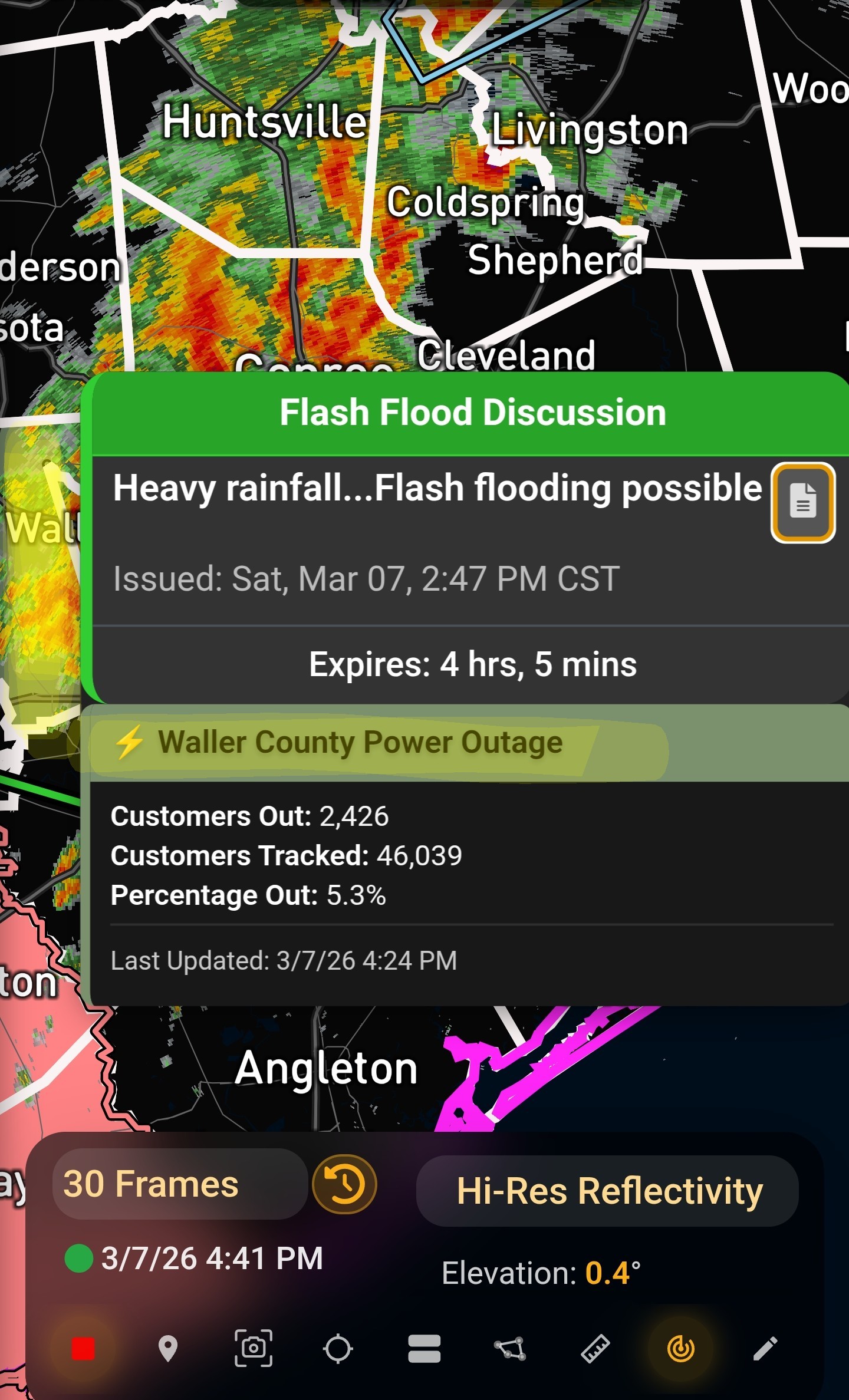
 BigBruno : It's moving pretty slowly so we should see decent totals. No guarantee obviously but radar is looking promising.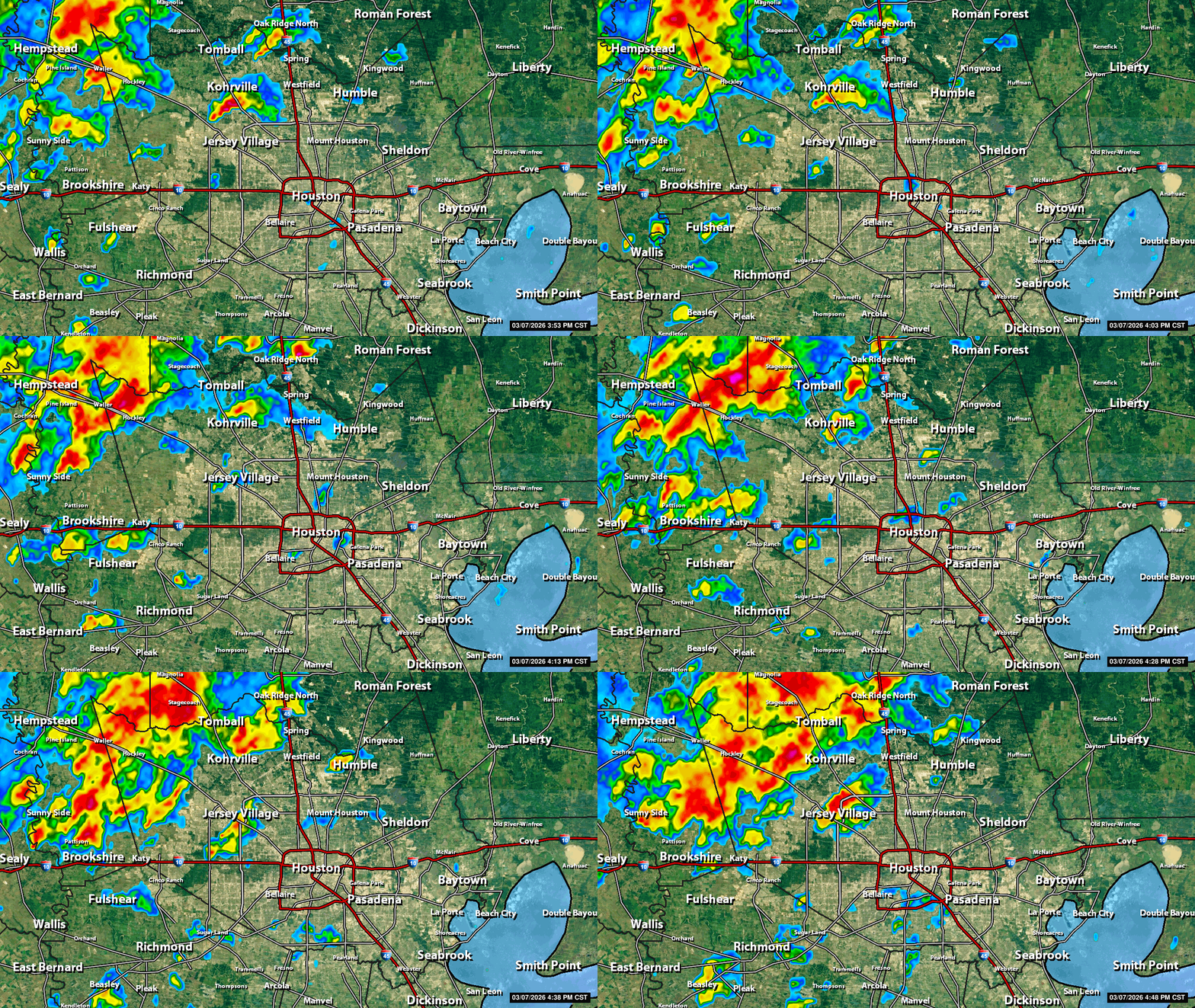
|
|
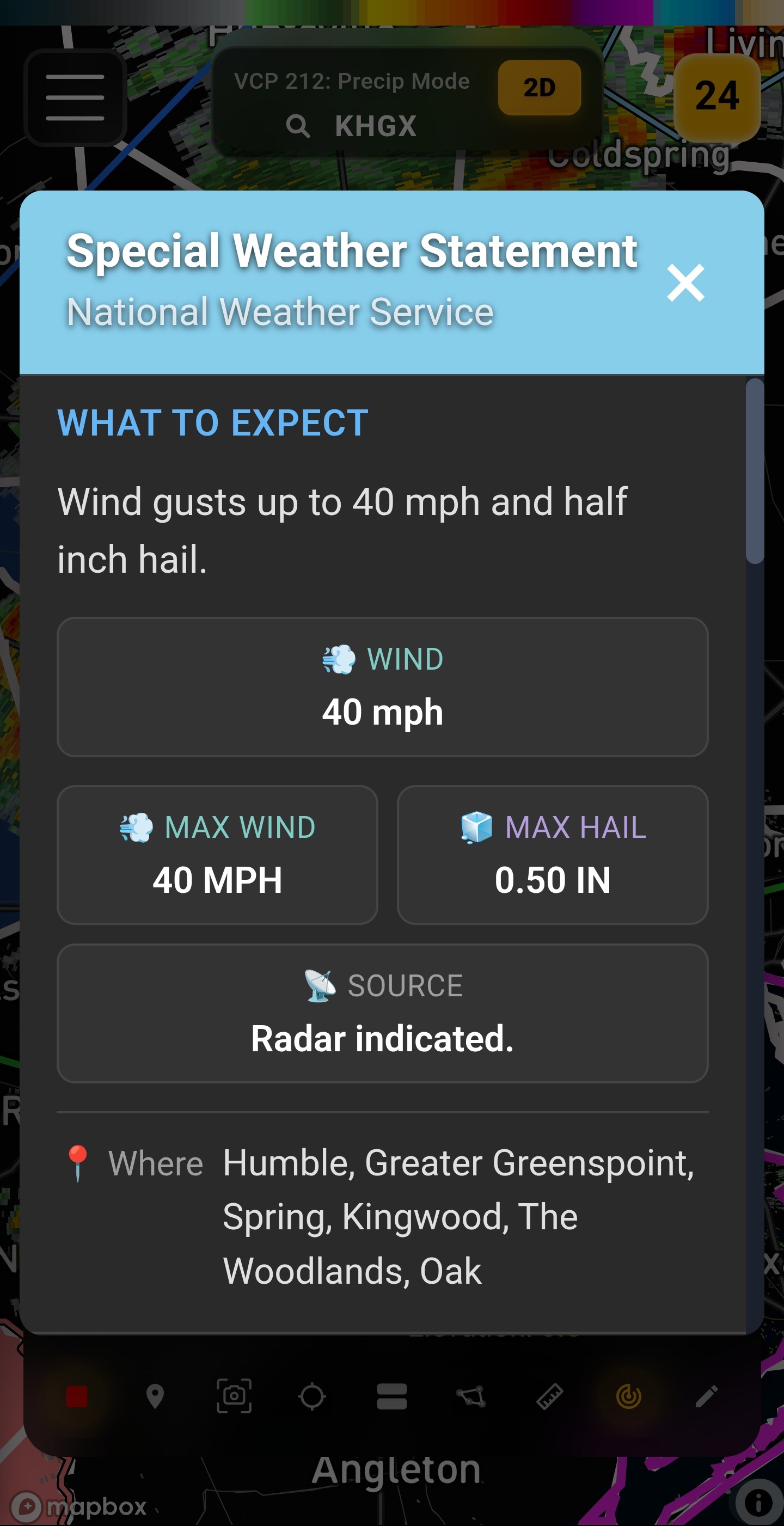
Severe Thunderstorm Warning Severe Thunderstorm Warning for Kingwood until 530pm. Special Weather StatementNational Weather Service What to Expect Wind gusts up to 40 mph and half inch hail. 💨 Wind
40 mph 💨 Max Wind
40 MPH 🧊 Max Hail
0.50 IN 📡 Source
Radar indicated. 📍 WhereHumble, Greater Greenspoint, Spring, Kingwood, The Woodlands, Oak ⚠️ Expected Impacts Gusty winds could knock down tree limbs and blow around unsecured objects. Minor hail damage to vegetation is possible. 592 WWUS84 KHGX 072302 SPSHGX Special Weather Statement National Weather Service Houston/Galveston TX 502 PM CST Sat Mar 7 2026 TXZ199-213-072330- Inland Harris TX-Montgomery TX- 502 PM CST Sat Mar 7 2026 ...A STRONG THUNDERSTORM WILL IMPACT SOUTH CENTRAL MONTGOMERY AND NORTH CENTRAL HARRIS COUNTIES THROUGH 530 PM CST... At 502 PM CST, Doppler radar was tracking a strong thunderstorm near Willowbrook, or near Greater Greenspoint, moving northeast at 20 mph. HAZARD...Wind gusts up to 40 mph and half inch hail. SOURCE...Radar indicated. IMPACT...Gusty winds could knock down tree limbs and blow around unsecured objects. Minor hail damage to vegetation is possible. Locations impacted include... Humble, Greater Greenspoint, Spring, Kingwood, The Woodlands, Oak Ridge North, Shenandoah, Woodloch, The Woodlands Pavillion, Chateau Woods, Willowbrook, Hurricane Harbor Splashtown, Porter Heights, northwestern Bush Intercontinental Airport, and Greater Inwood. PRECAUTIONARY/PREPAREDNESS ACTIONS... If outdoors, consider seeking shelter inside a building. 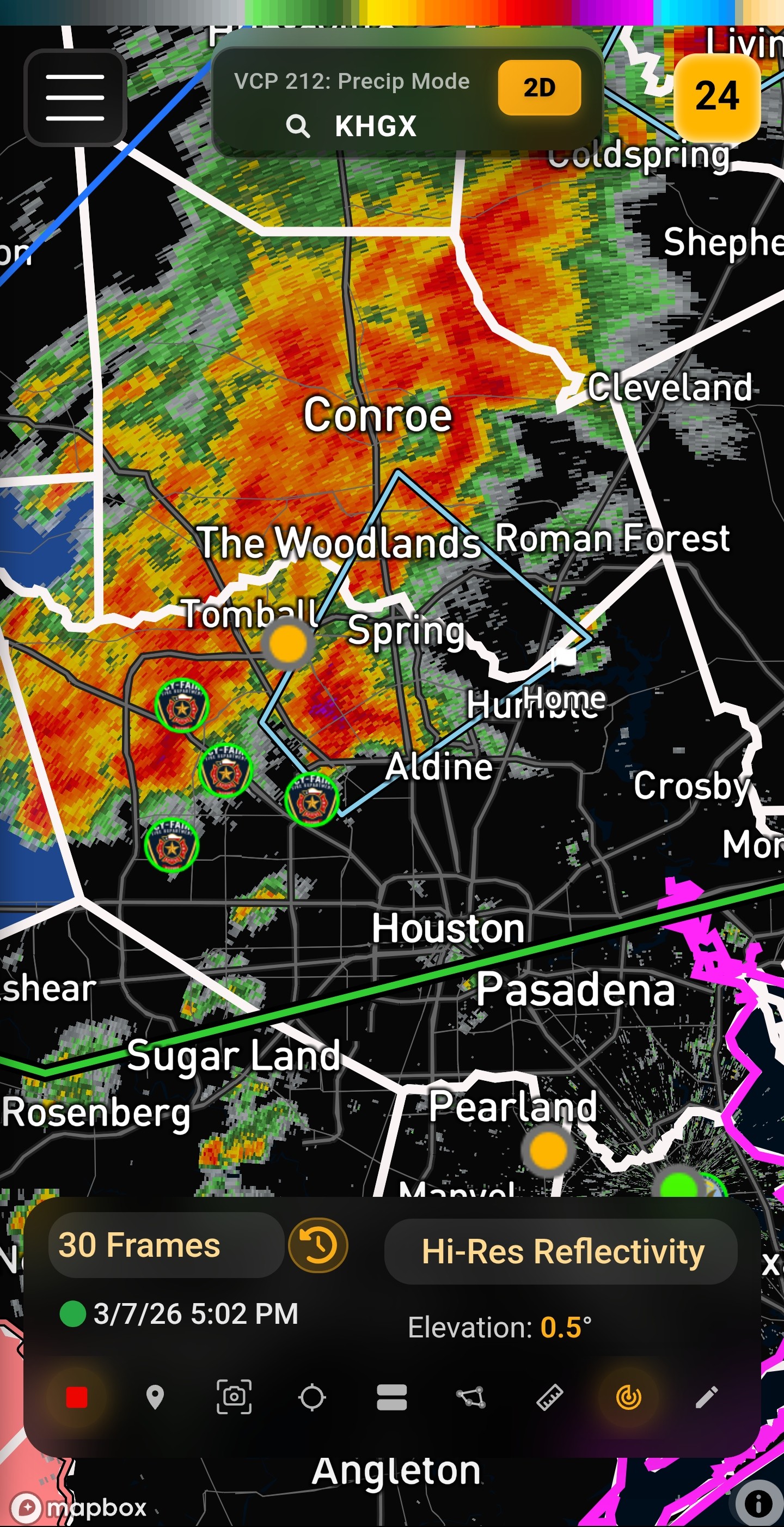
peppermintstick and teatime reacted 40 mph
40 MPH
0.50 IN
Radar indicated.
|
|
515PM- Watching that cell SW of Aldine Westfield. Has a bit of a hook on it with some rotation. 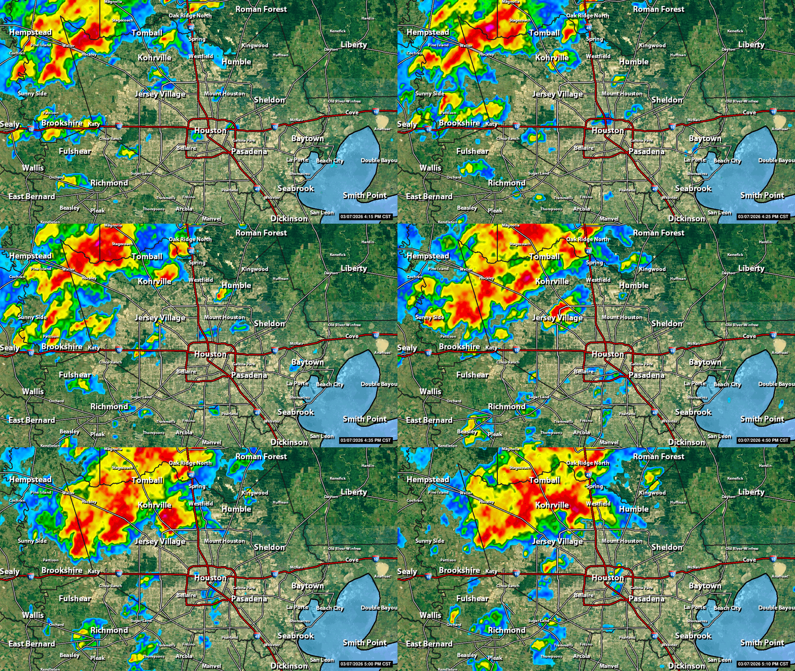
peppermintstick and teatime reacted
|
|

So we aren't going to get much if anything.
BigBruno : Why do you think that? I'm hearing distant thunder now.
|
|
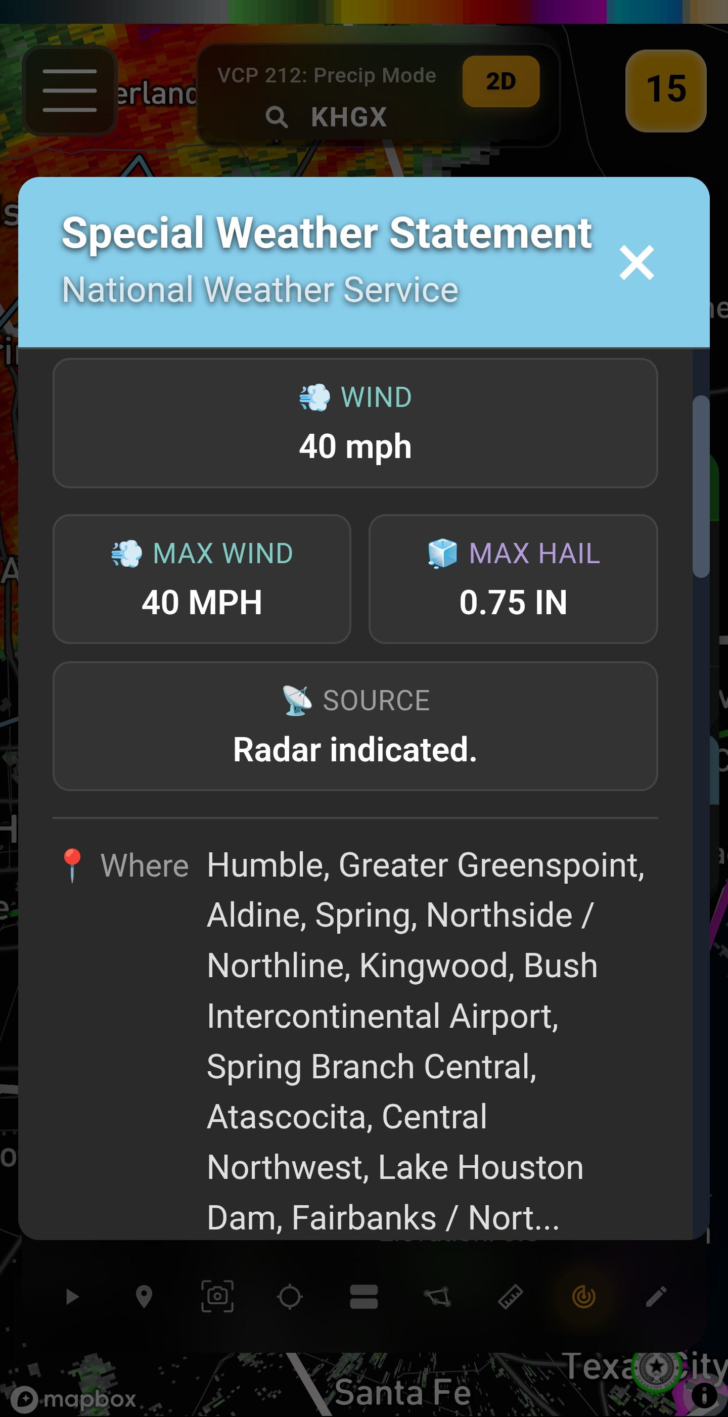
5:30PM Slowly moving east - severe thunderstorm warning is still active. 40mph winds and .75 inch hail possible 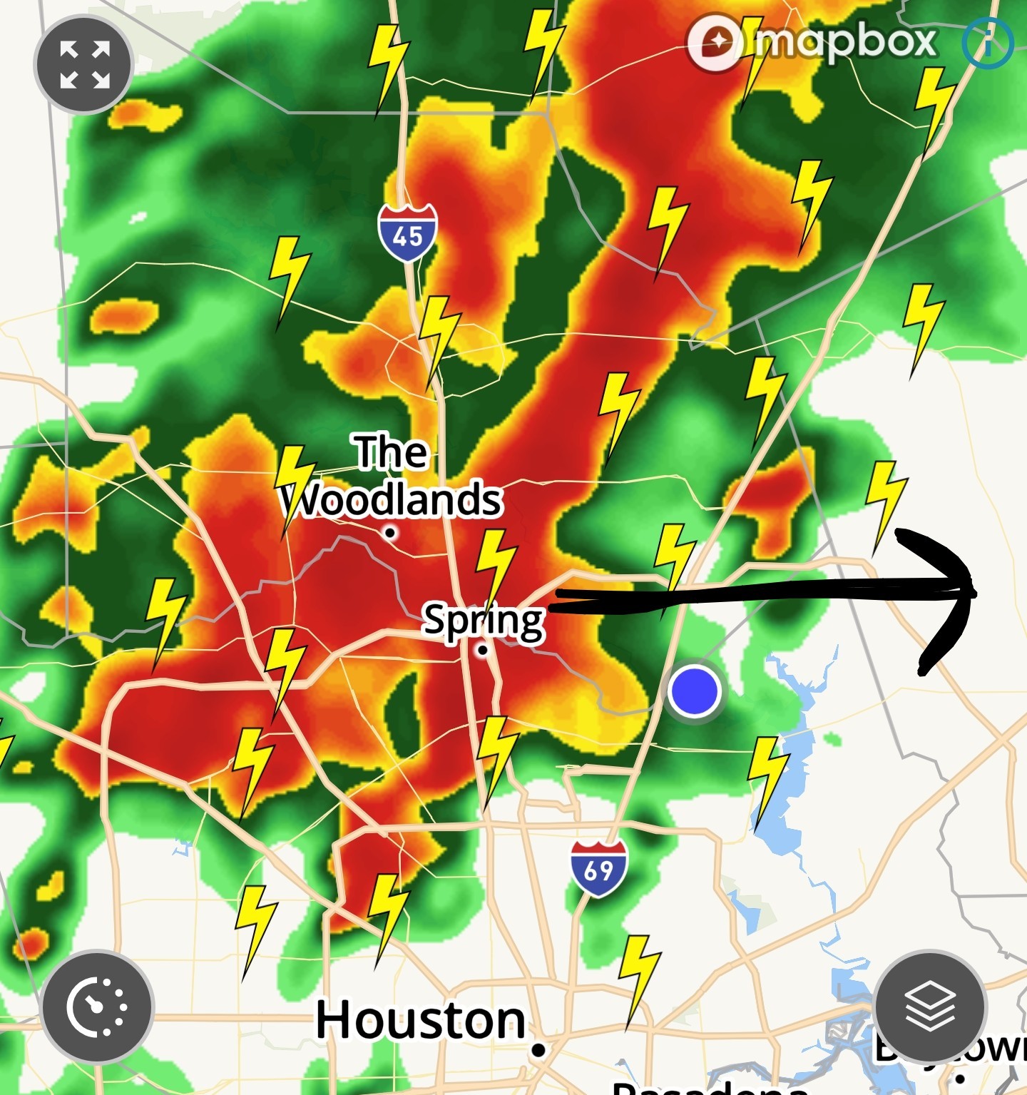
|
|
 LyleLanleyII
« Back to Chat
Views: 826
# Replies: 23