


Saturday storm forecast
Saturday storm forecast


Joined:
X days ago
# Posts:
X,XXX
Contributor Points:
X


Saturday storm forecast 930am: I broke this post up a bit to understand a little easier. ➡️ HRRR model shows a line of slow moving, severe storms coming through this evening around 7pm; exact timing is still TBD.
➡️ Read below for details on what to expect and when. From Space City Weather: Here's what to expect later today and Sunday from a stalled front that may generate storms. Eric Berger · Saturday, March 7, 2026 8:57 AM ➡️ In brief: *We interrupt your weekend to bring you an update on impacts from a cool front that will approach the Houston region and stall out.
*The primary threat is severe thunderstorms SATURDAY EVE/SAT NIGHT and on SUNDAY, although not everyone will see inclement weather. *There is a lot going on in the metro region this weekend, from big events at the Houston Livestock Show and Rodeo to the World Baseball Classic to much, much more. ❗️We're going to need to be weather aware. ➡️ The setup - *In the big picture a cool front move into the region, where it will clash with very warm and moist air.
*Where this front ultimately stalls will serve as a focus for showers along with potentially strong thunderstorms and heavy rain.
*However this will be rather location based, so whereas some areas may see 2 or more inches of rain, others will see considerably less.
*Some uncertainty remains with regard to the details, but generally here is what I expect to happen. 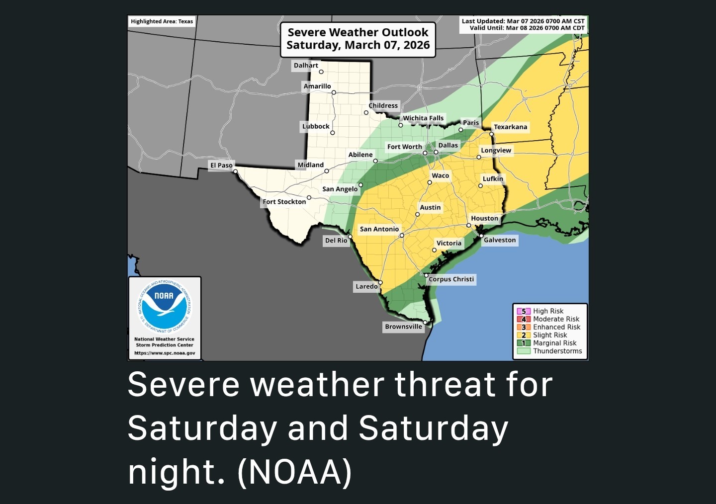 ➡️ Now (Sat AM) - *For now the radar is quiet, and we expect it to remain so in Houston throughout the morning hours. ➡️ Sat. Afternoon - *During the afternoon we may see some scattered showers across Houston, but nothing serious.
*However off to our northwest, in the vicinity of College Station, a more organized line of storms is likely to develop around mid-afternoon. ➡️ Saturday evening - *This line/mass of storms is likely to threaten areas within the greater HOUSTON REGION along and north of Interstate 10 during the EVENING HOURS.
*There is the potential for strong winds and hail with some of these thunderstorms should they turn severe.
*This threat should persist until around MIDNIGHT or so. ➡️ Houston Rodeo - *If you're headed to the Rodeo on Saturday here's what I can say: First, the best chance of severe weather should be elsewhere this evening. However, we cannot rule out some showers and thunderstorms during the evening in the vicinity of NRG Stadium. So take care, but at this point I would not cancel plans. 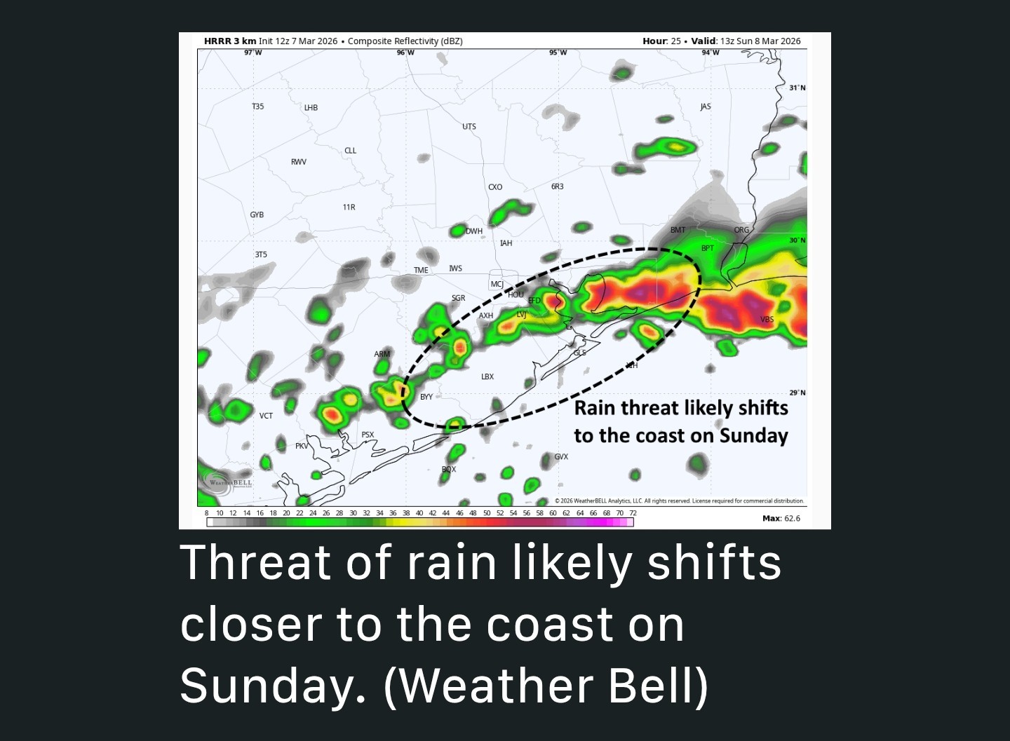 ➡️ Coastal exit - *After midnight the focus of storms is likely to turn closer to the coast, particularly areas including Brazos, Galveston, and Chambers counties-I'm thinking areas nearer to Galveston Bay.
*For these coastal areas rainfall will be more likely during the pre-dawn hours on Sunday and during the daytime.
*Rain chances for areas north of I-10 will not be zero on Sunday but for now they look to be considerably lower than Saturday. ➡️ Sunday - *On Sunday, the dynamics for severe weather are less favorable, but I still expect to see some pockets of heavy rainfall within stronger storm cells. ➡️ Temperatures - *Expect warm and muggy conditions on Saturday, with slightly cooler temperatures in the 70s on Sunday for most of the region. ➡️ Rain chances diminish some on Monday. ➡️ Updates: If there are significant changes to the forecast we (SCW) will update accordingly. Guys, I will also update throughout the day/evening as needed. The potential for severe storms is there but the question is: will the line produce severe weather & where. This line is not going to be moving very fast so I think localized street flooding is a possibility in certain areas. Please keep that in mind if you're out & about tonight. Sunday's setup looks less likely to be severe but I'll go more into that tomorrow. 😁 Stay safe. 💚


smokey545, Gammyof2 and Kittle + 10 more reacted ➡️ Read below for details on what to expect and when.
*****************
*The primary threat is severe thunderstorms SATURDAY EVE/SAT NIGHT and on SUNDAY, although not everyone will see inclement weather.
*Where this front ultimately stalls will serve as a focus for showers along with potentially strong thunderstorms and heavy rain.
*However this will be rather location based, so whereas some areas may see 2 or more inches of rain, others will see considerably less.
*Some uncertainty remains with regard to the details, but generally here is what I expect to happen.
*However off to our northwest, in the vicinity of College Station, a more organized line of storms is likely to develop around mid-afternoon.
*There is the potential for strong winds and hail with some of these thunderstorms should they turn severe.
*This threat should persist until around MIDNIGHT or so.
*For these coastal areas rainfall will be more likely during the pre-dawn hours on Sunday and during the daytime.
*Rain chances for areas north of I-10 will not be zero on Sunday but for now they look to be considerably lower than Saturday.
********
Replies:

|
StormChaser : Thanks for keeping us updated. I'm hoping for just much needed rain with none of the severe stuff.
|
|

StormChaser : Thanks for keeping us updated. I'm hoping for just much needed rain with none of the severe stuff.
peppermintstick : Me too. I D K about you but, my power blipped 3 times yesterday just due to wind!
|
|
StormChaser : Thanks for keeping us updated, I hope we don't get anything too severe, but I'll be glad for some rain.
|
|
I don't mind sleeping during thunderstorms. I hope we get a nice measurable soak!
peppermintstick, Kittle and cbear + 1 more reacted
|
|
Noon update: Current radar at noon. 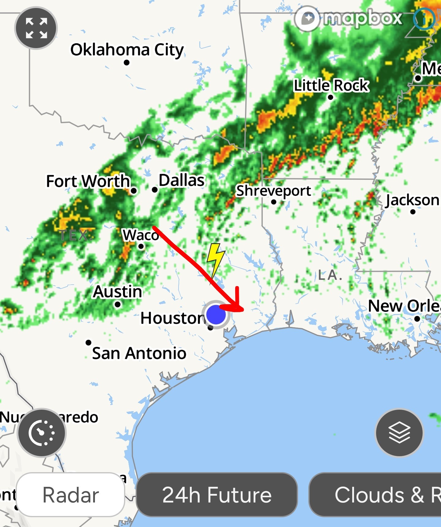 A few severe warnings have been issued just west of the Austin area. Storms still look to come through after 5pm someone. Some models show 5ish and others show 7-8pm.
teatime, Wiseowl and peppermintstick + 2 more reacted
|
|
Noon update: Current radar at noon. A few severe warnings have been issued just west of the Austin area. Storms still look to come through after 5pm someone. Some models show 5ish and others show 7-8pm.
StormChaser : I hope it clears out for tomorrow...my birthday.
StormChaser : Thank you for keeping us aware and updated. You da best!!!
|
|
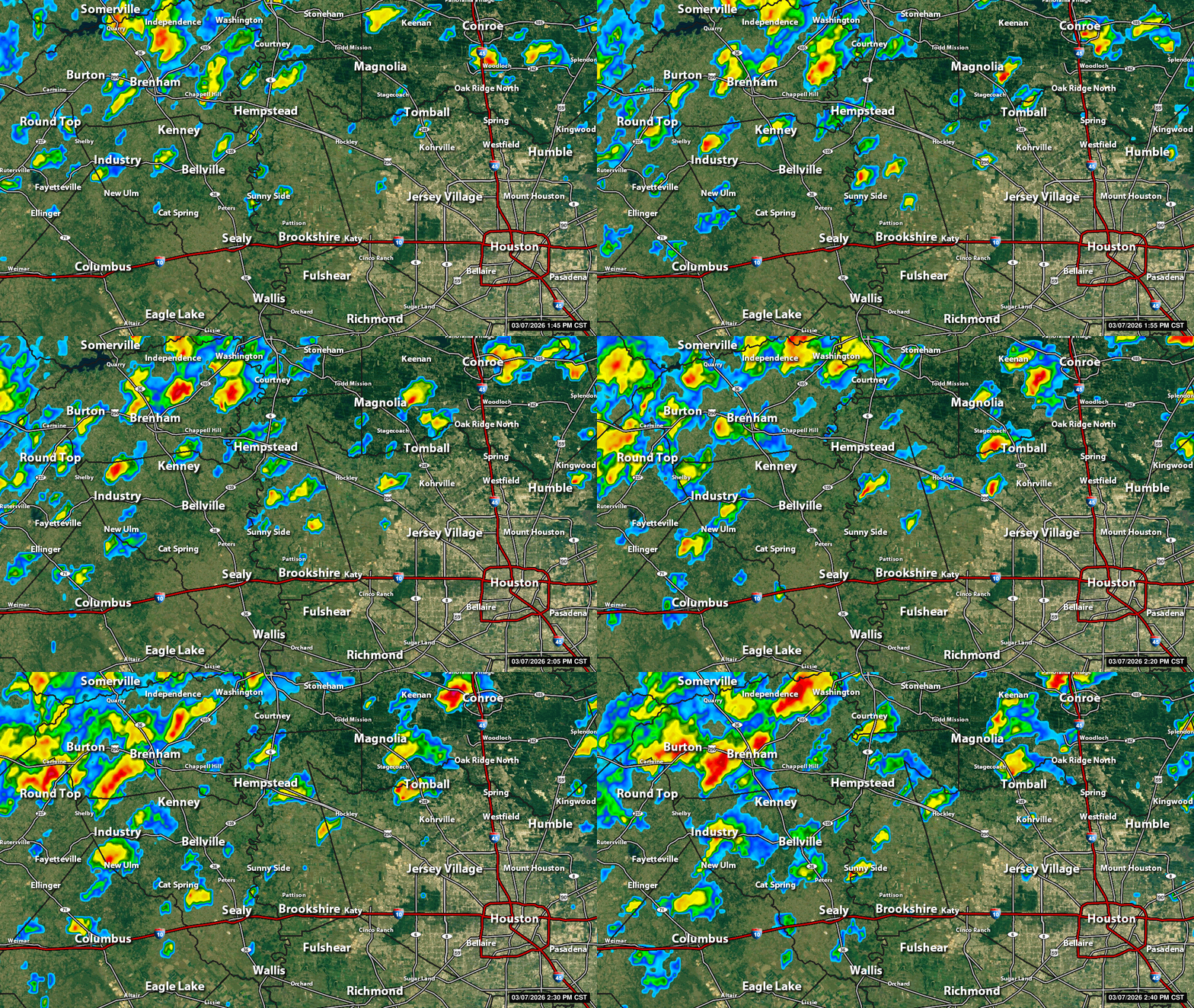
2pm Storms forming in the area early this afternoon - The rest of the day will be stormy on & off. 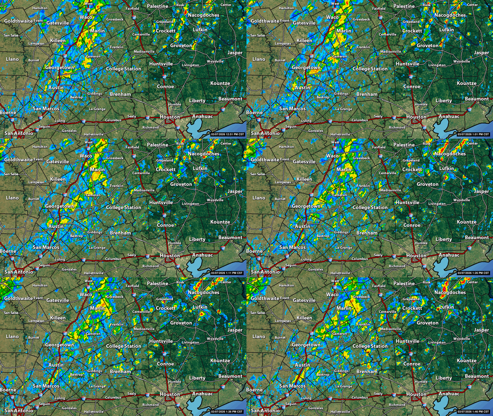
teatime, peppermintstick and Wiseowl reacted
|
|
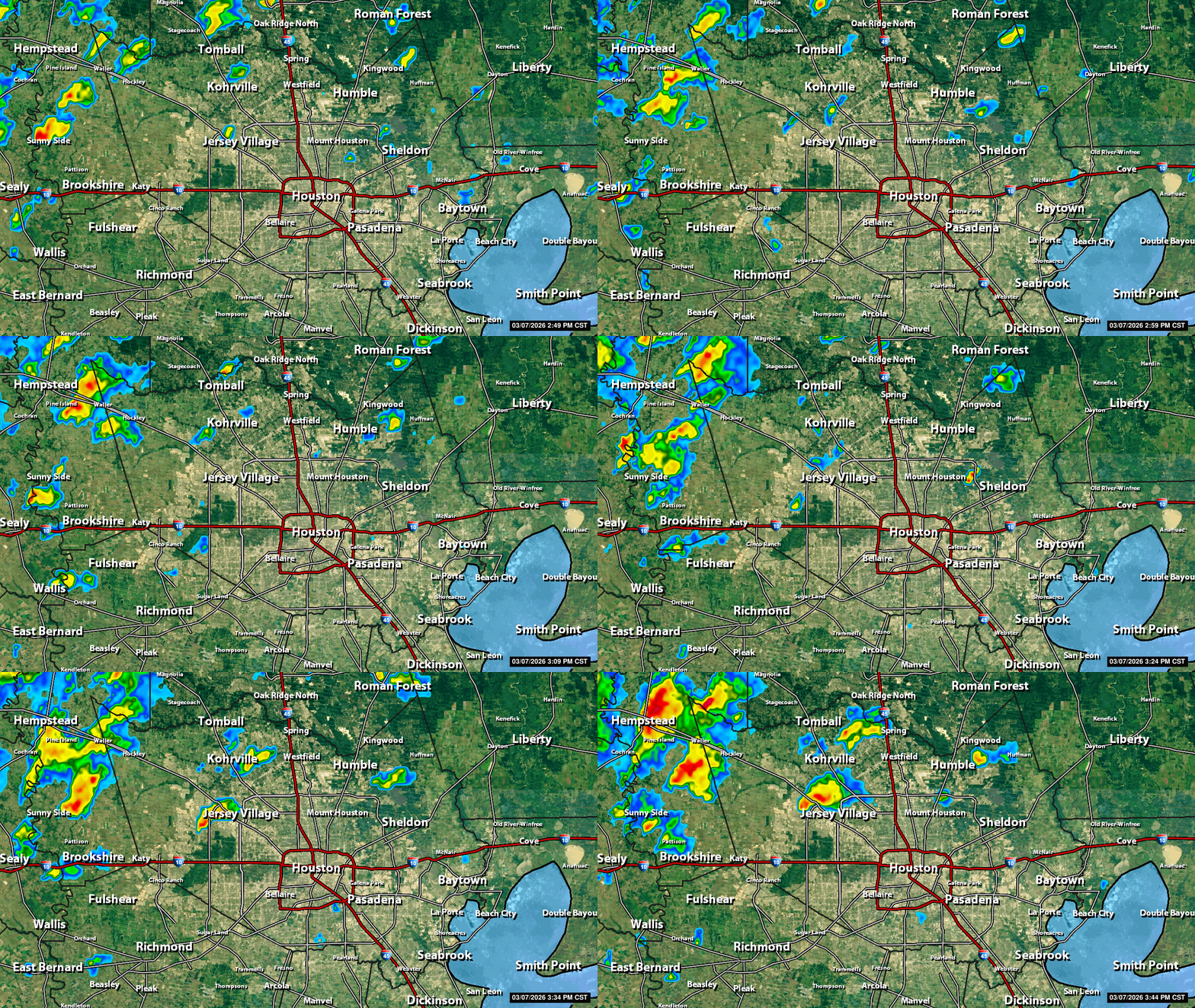
245pm: 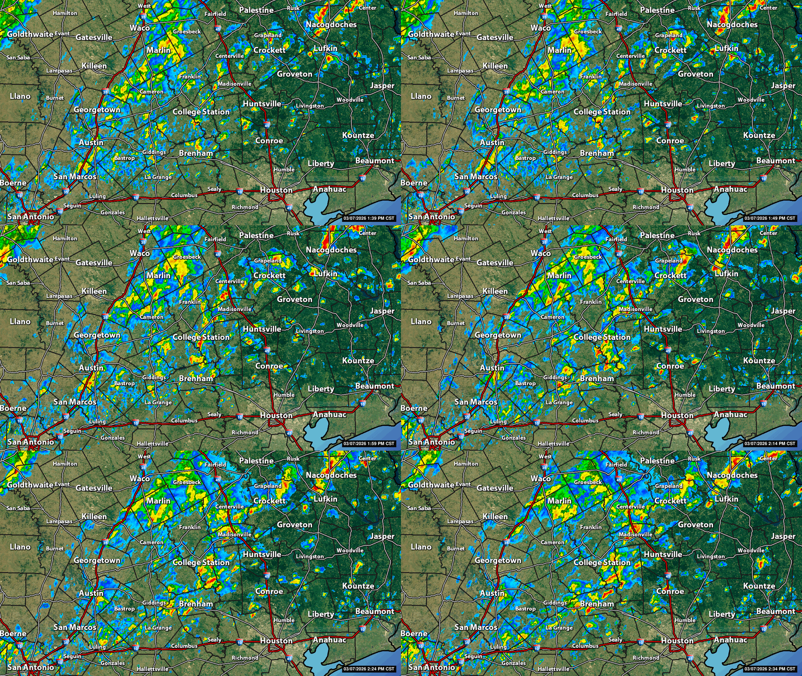
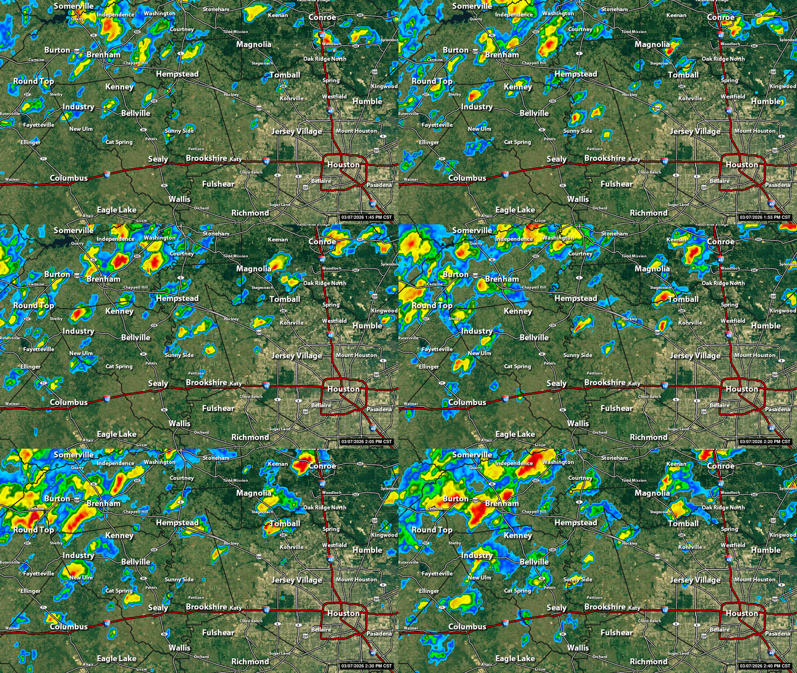 No watches or warnings with any of these storms at this time. The line, which will come through after 6pm, will be the time to watch.
teatime and peppermintstick reacted
|
|
StormChaser : I hope it clears out for tomorrow...my birthday.
cbear : Happy early birthday, may the sun shine on you tomorrow.
|
|
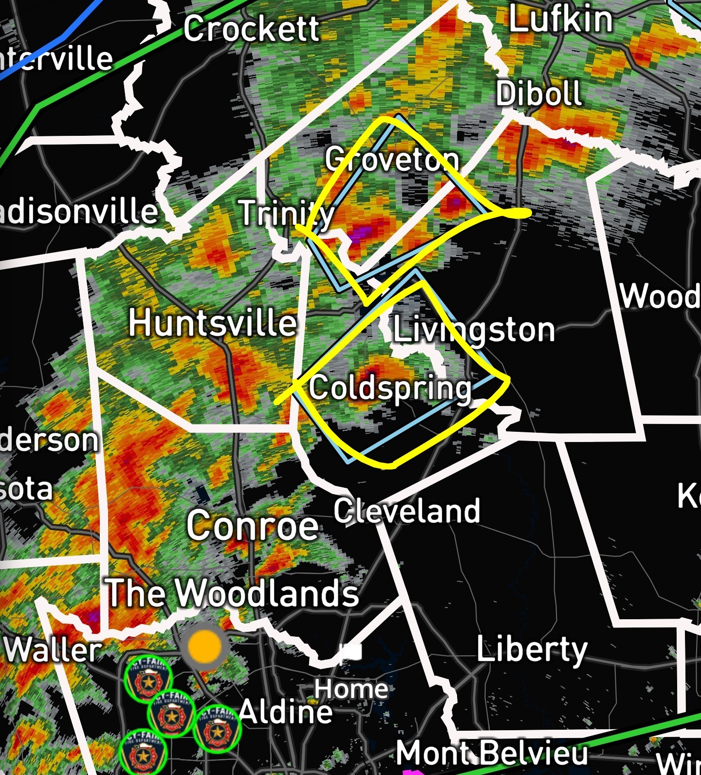
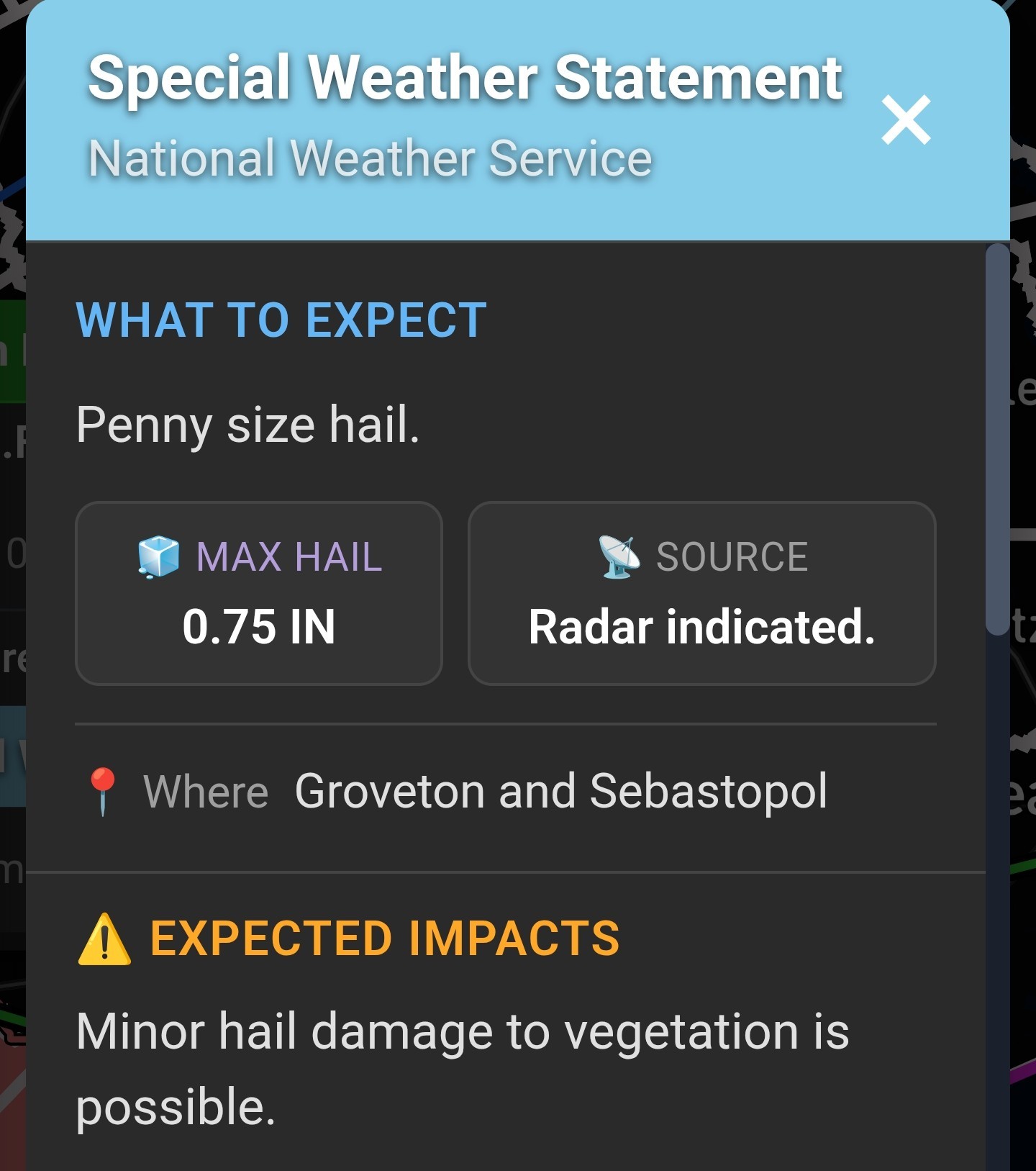
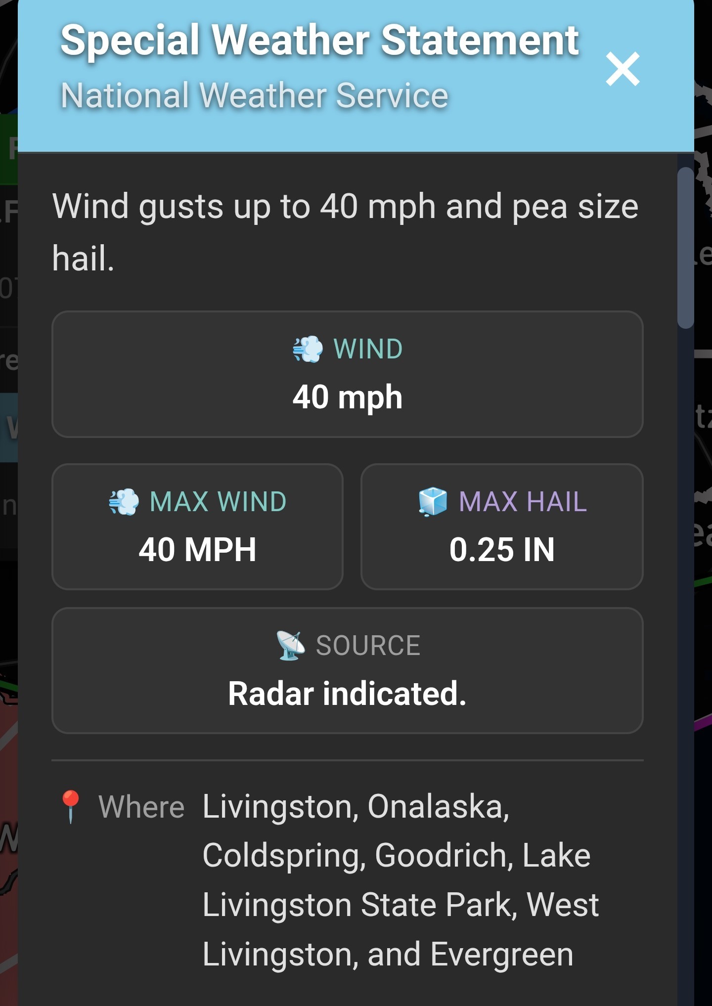
4pm 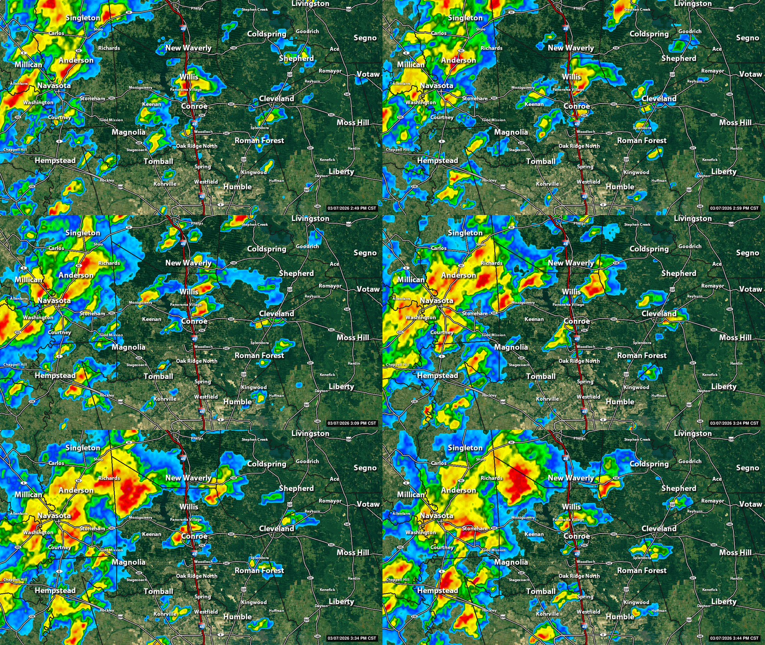
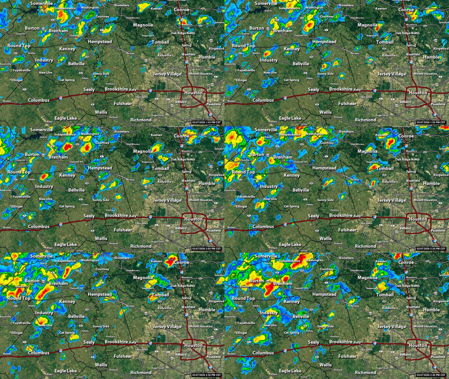
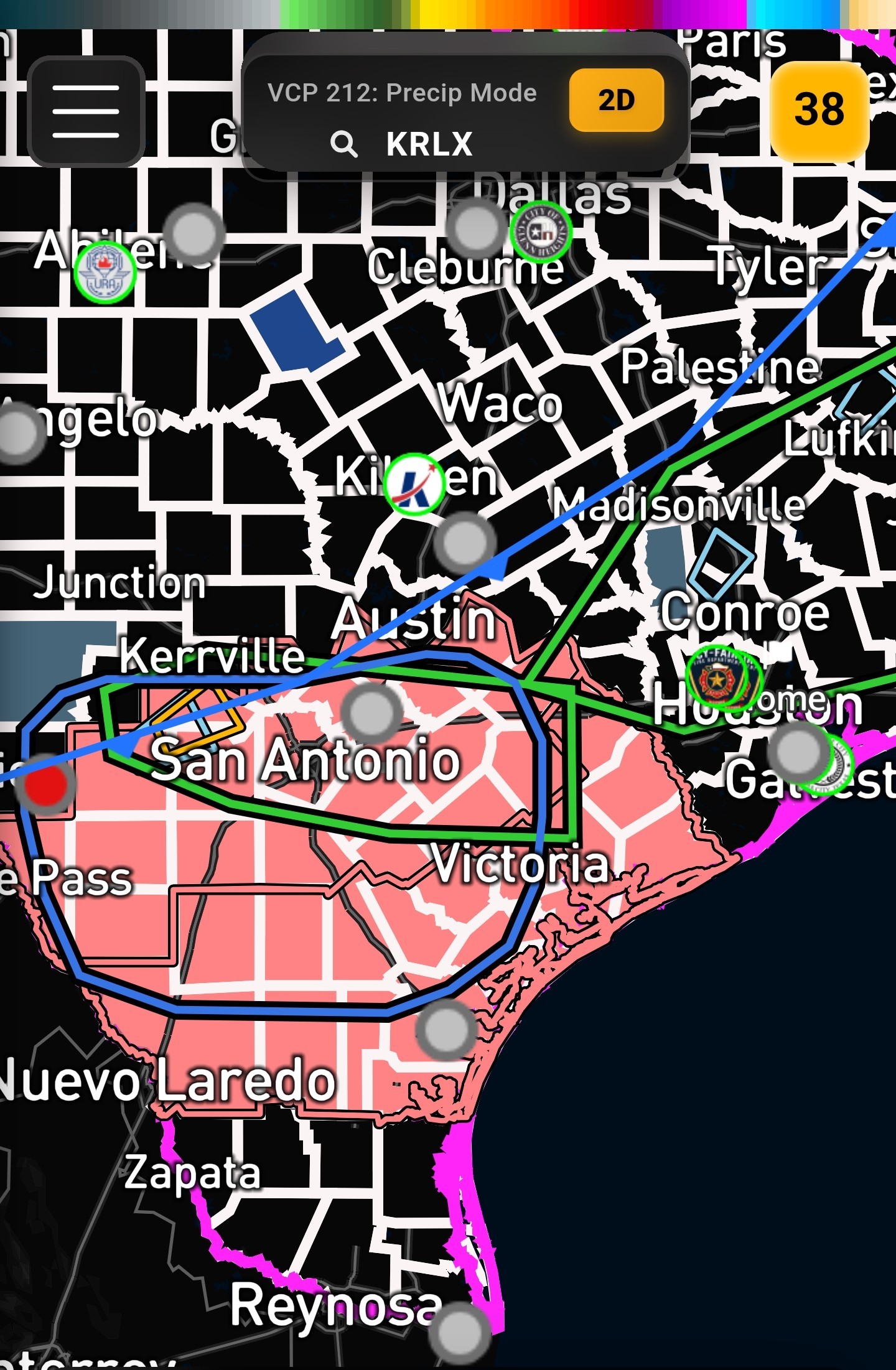
 Current watches and warnings: Severe Thunderstorm watch to our SW. This does not include Houston.
  Severe Thunderstorm Warning in Waller County (to our NW)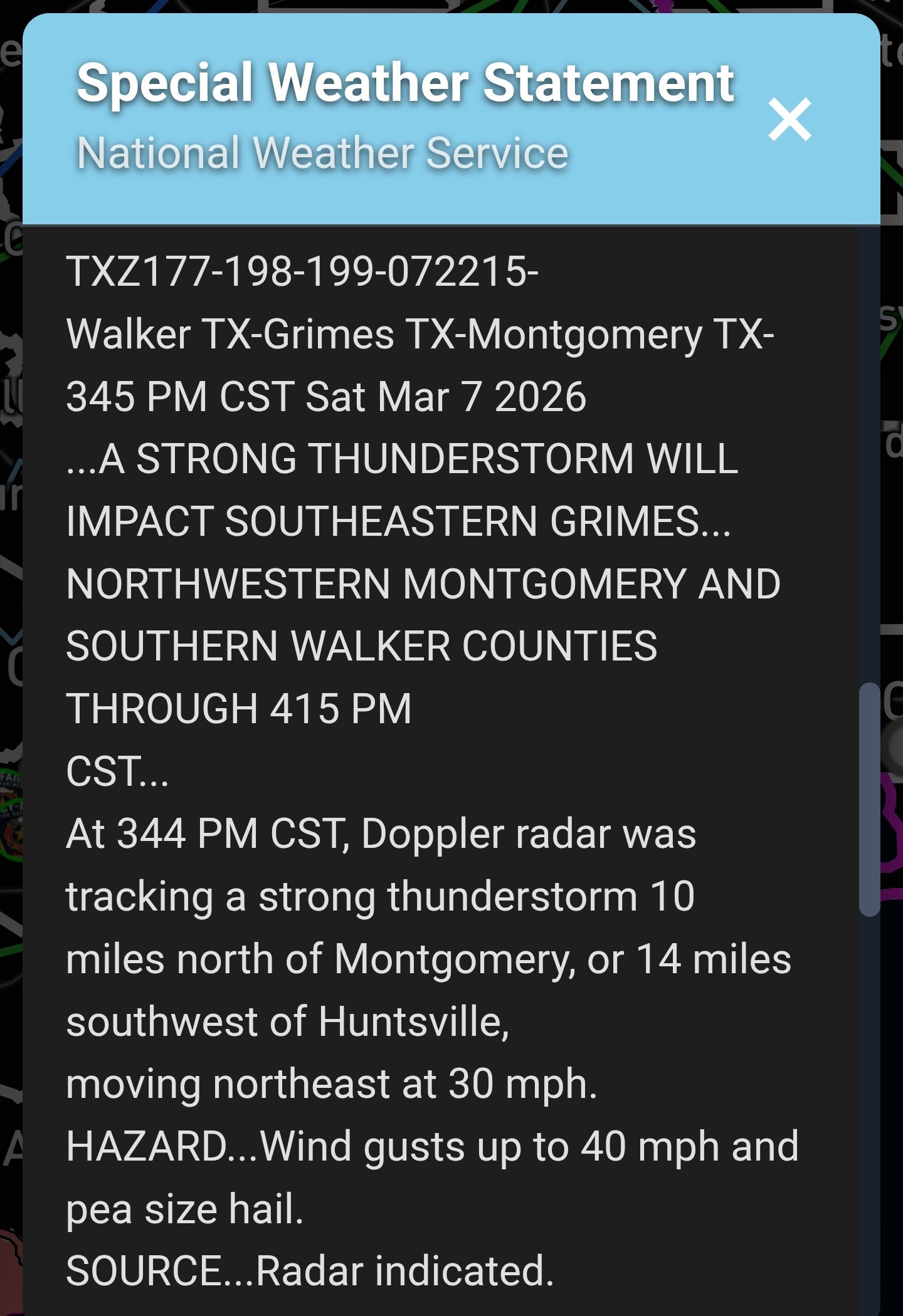
« Back to Chat
Views: 818
# Replies: 23