


Cold front late tonight
Cold front late tonight


Joined:
X days ago
# Posts:
X,XXX
Contributor Points:
X


Cold front late tonight Things will look and feel very different tomorrow (Monday) morning! Sunday will be another warm day. In fact, we might see highs pushing into the low to mid 80s for much of the region. Cooler temperatures will eventually arrive late on Sunday evening or during the overnight hours. When you wake up on Monday morning, temperatures will be much colder, likely in the 40s. There may be some brief, light to moderate showers on Sunday night with its passage along with a few thunderstorms. They should not last long as the front pushes through. Next week: Monday and Tuesday will be sharply colder. Daytime temperatures on both days will likely peak at around 50 degrees and conditions on Monday should feel even chillier due to fairly gusty winds. Both days should see partly to mostly sunny skies. We're closely watching for the possibility of a light freeze in Houston, which will depend on a variety of factors including winds, clouds, and just how cold a narrow wedge of air near the surface can get on Tuesday and Wednesday mornings. For now I'll predict that most of metro Houston lands just above freezing, in the ballpark of 33 to 36 degrees; it should be fairly close and you should be prepared for the possibility of sub-freezing temperatures similar to what we experienced 10 days ago. A freeze is more likely for areas outside of Houston's urban core, and away from the coast. Highs on New Year's Eve should reach about 60 degrees but lows that night will drop into the 40s. We're not concerned about rains or winds but conditions will still be fairly chilly if you're outside as you ring in the new year. We should be around 70 degrees for highs to end next week with mild nights probably somewhere in the 50s.


Kittle, SummerSneeze and peppermintstick + 11 more reacted Replies:
Cold front late tonight Things will look and feel very different tomorrow (Monday) morning! Sunday will be another warm day. In fact, we might see highs pushing into the low to mid 80s for much of the region. Cooler temperatures will eventually arrive late on Sunday evening or during the overnight hours. When you wake up on Monday morning, temperatures will be much colder, likely in the 40s. There may be some brief, light to moderate showers on Sunday night with its passage along with a few thunderstorms. They should not last long as the front pushes through. Next week: Monday and Tuesday will be sharply colder. Daytime temperatures on both days will likely peak at around 50 degrees and conditions on Monday should feel even chillier due to fairly gusty winds. Both days should see partly to mostly sunny skies. We're closely watching for the possibility of a light freeze in Houston, which will depend on a variety of factors including winds, clouds, and just how cold a narrow wedge of air near the surface can get on Tuesday and Wednesday mornings. For now I'll predict that most of metro Houston lands just above freezing, in the ballpark of 33 to 36 degrees; it should be fairly close and you should be prepared for the possibility of sub-freezing temperatures similar to what we experienced 10 days ago. A freeze is more likely for areas outside of Houston's urban core, and away from the coast. Highs on New Year's Eve should reach about 60 degrees but lows that night will drop into the 40s. We're not concerned about rains or winds but conditions will still be fairly chilly if you're outside as you ring in the new year. We should be around 70 degrees for highs to end next week with mild nights probably somewhere in the 50s.
StormChaser : Ahhh, the downward swing, then back up, then back down, and back up again. I'm starting to see a pattern. 😆 Hopefully the power company follows the weather.

StormChaser : Ahhh, the downward swing, then back up, then back down, and back up again. I'm starting to see a pattern. 😆 Hopefully the power company follows the weather.
Sophos2 : Yep...it is a see-saw of weather!
Cold front late tonight Things will look and feel very different tomorrow (Monday) morning! Sunday will be another warm day. In fact, we might see highs pushing into the low to mid 80s for much of the region. Cooler temperatures will eventually arrive late on Sunday evening or during the overnight hours. When you wake up on Monday morning, temperatures will be much colder, likely in the 40s. There may be some brief, light to moderate showers on Sunday night with its passage along with a few thunderstorms. They should not last long as the front pushes through. Next week: Monday and Tuesday will be sharply colder. Daytime temperatures on both days will likely peak at around 50 degrees and conditions on Monday should feel even chillier due to fairly gusty winds. Both days should see partly to mostly sunny skies. We're closely watching for the possibility of a light freeze in Houston, which will depend on a variety of factors including winds, clouds, and just how cold a narrow wedge of air near the surface can get on Tuesday and Wednesday mornings. For now I'll predict that most of metro Houston lands just above freezing, in the ballpark of 33 to 36 degrees; it should be fairly close and you should be prepared for the possibility of sub-freezing temperatures similar to what we experienced 10 days ago. A freeze is more likely for areas outside of Houston's urban core, and away from the coast. Highs on New Year's Eve should reach about 60 degrees but lows that night will drop into the 40s. We're not concerned about rains or winds but conditions will still be fairly chilly if you're outside as you ring in the new year. We should be around 70 degrees for highs to end next week with mild nights probably somewhere in the 50s.
StormChaser : Thank you for the update. I am kinda looking forward to the cooler weather. 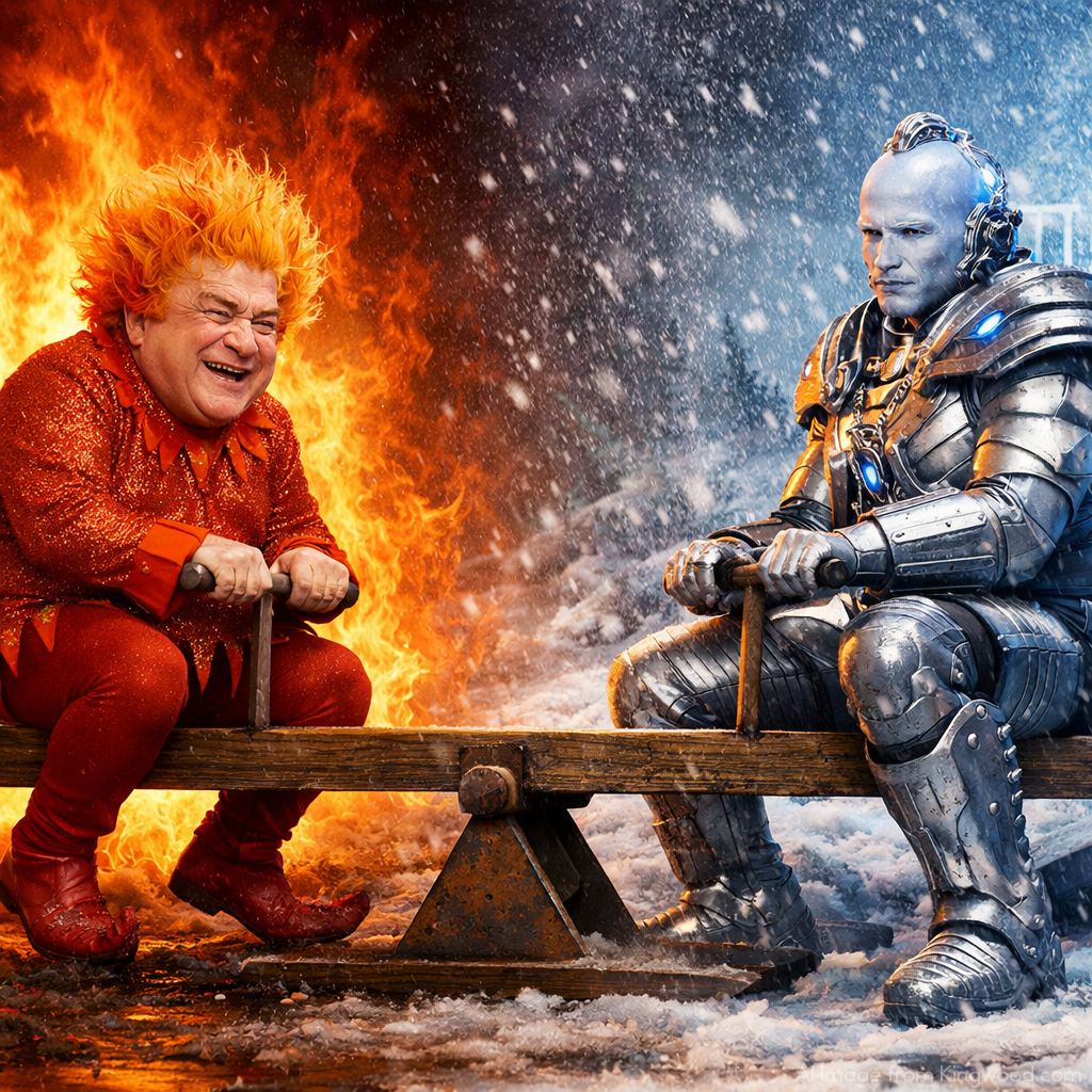 StormChaser :
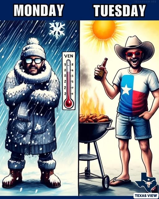
 Thank you for the update and info. So, to sum it up it's basically going to be warm, then cold, then warm again. The usual roller coaster weather of Texas heading into the New Year. Lol


Cold front late tonight Things will look and feel very different tomorrow (Monday) morning! Sunday will be another warm day. In fact, we might see highs pushing into the low to mid 80s for much of the region. Cooler temperatures will eventually arrive late on Sunday evening or during the overnight hours. When you wake up on Monday morning, temperatures will be much colder, likely in the 40s. There may be some brief, light to moderate showers on Sunday night with its passage along with a few thunderstorms. They should not last long as the front pushes through. Next week: Monday and Tuesday will be sharply colder. Daytime temperatures on both days will likely peak at around 50 degrees and conditions on Monday should feel even chillier due to fairly gusty winds. Both days should see partly to mostly sunny skies. We're closely watching for the possibility of a light freeze in Houston, which will depend on a variety of factors including winds, clouds, and just how cold a narrow wedge of air near the surface can get on Tuesday and Wednesday mornings. For now I'll predict that most of metro Houston lands just above freezing, in the ballpark of 33 to 36 degrees; it should be fairly close and you should be prepared for the possibility of sub-freezing temperatures similar to what we experienced 10 days ago. A freeze is more likely for areas outside of Houston's urban core, and away from the coast. Highs on New Year's Eve should reach about 60 degrees but lows that night will drop into the 40s. We're not concerned about rains or winds but conditions will still be fairly chilly if you're outside as you ring in the new year. We should be around 70 degrees for highs to end next week with mild nights probably somewhere in the 50s.
 StormChaser : Sophos2 : TEXASGIRLMAMMA :
 @CatalinaKitKat :
teatime : FlipZ :
StormChaser : Thank you for the update and info. So, to sum it up it's basically going to be warm, then cold, then warm again. The usual roller coaster weather of Texas heading into the New Year. Lol
StormChaser : Oh dear! I'm not going to drag all my plants into the garage again! Whatever survives, deserves to survive!
StormChaser : Sophos2 : TEXASGIRLMAMMA : CatalinaKitKat : teatime : FlipZ :
cbear : That's Texas for you! « Back to Chat
Views: 612
# Replies: 18