


4pm radar - Monday
4pm radar - Monday


Joined:
X days ago
# Posts:
X,XXX
Contributor Points:
X
Replies:


 StormChaser

Goodness. Storm to our west is charging at us, and the one to our east is stalling and maybe back building.
 LittleTexas
 teatime :
 It is. Took out the trash to sprinkles . Got back inside just in time. Thankful for the rain.
Special Weather Statement At 522 PM CDT, Doppler radar was tracking a strong thunderstorm near
Cypress, or near Tomball, moving east at 30 mph. 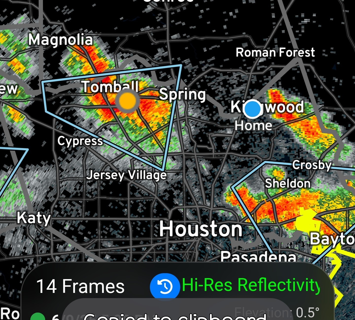
HAZARD...Wind gusts up to 40 mph and nickel size hail. SOURCE...Radar indicated. IMPACT...Gusty winds could knock down tree limbs and blow around unsecured objects. Minor hail damage to vegetation is possible. Locations impacted include...
Tomball, The Woodlands, Spring, Oak Ridge North, Willowbrook, and
Hooks Airport. PRECAUTIONARY/PREPAREDNESS ACTIONS... If outdoors, consider seeking shelter inside a building. Frequent cloud to ground lightning is occurring with this storm. Lightning can strike 10 miles away from a thunderstorm. Seek a safe shelter inside a building or vehicle.
Cypress, or near Tomball, moving east at 30 mph.
HAZARD...Wind gusts up to 40 mph and nickel size hail.
Tomball, The Woodlands, Spring, Oak Ridge North, Willowbrook, and
Hooks Airport.
 peppermintstick
All lined up, along and south of I10, moving east. 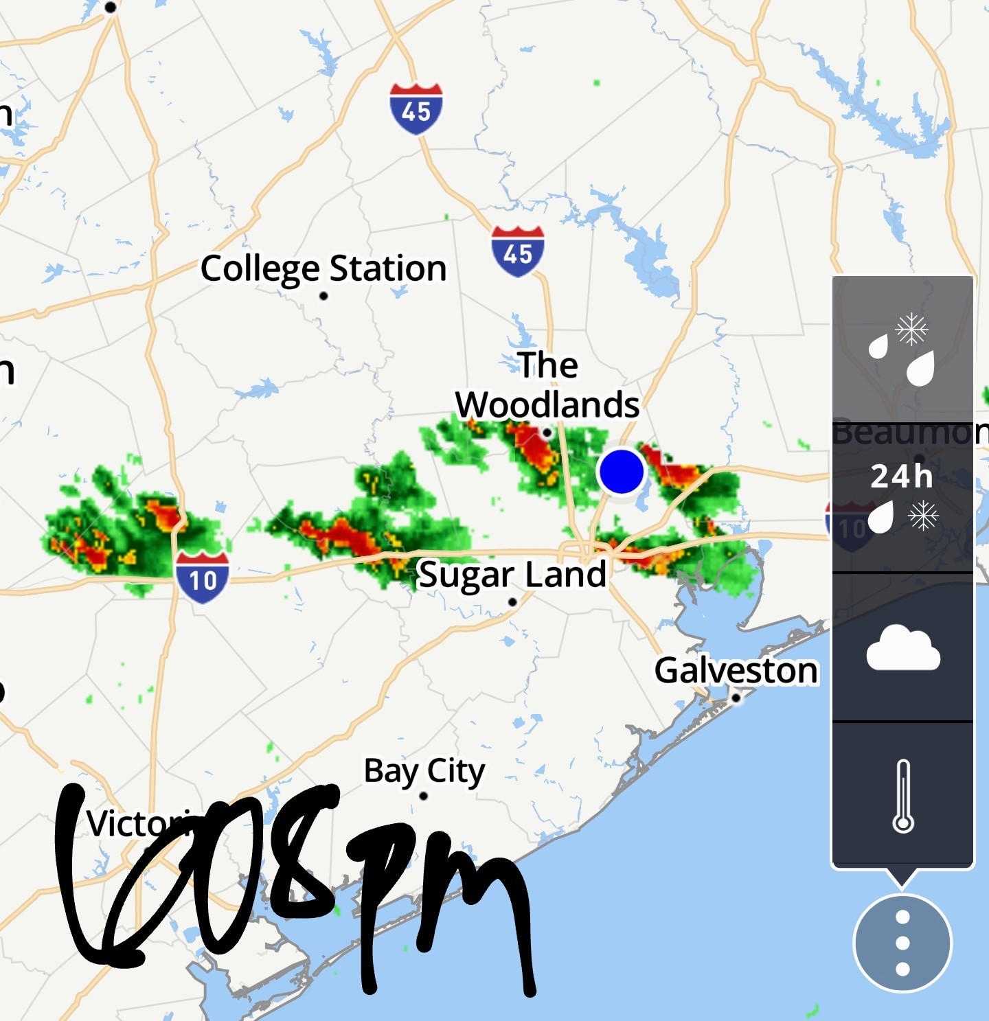
We need it to stay on the northeast track and miss us. It's eating up 6000 cape, extremely explosive.
StormChaser : The storms followed me home from the airport area today, Yay!
 SteveT :
 Lol. How about if I just go back in tomorrow and bring it back again tomorrow afternoon, and the next couple of days after that?

« Back to Chat
Views: 1,115
# Replies: 33