


Current radar - 4am
Current radar - 4am


Joined:
X days ago
# Posts:
X,XXX
Contributor Points:
X


Current radar - 4am Storms to our west; they should start to move in later this AM. A few could be strong to severe. 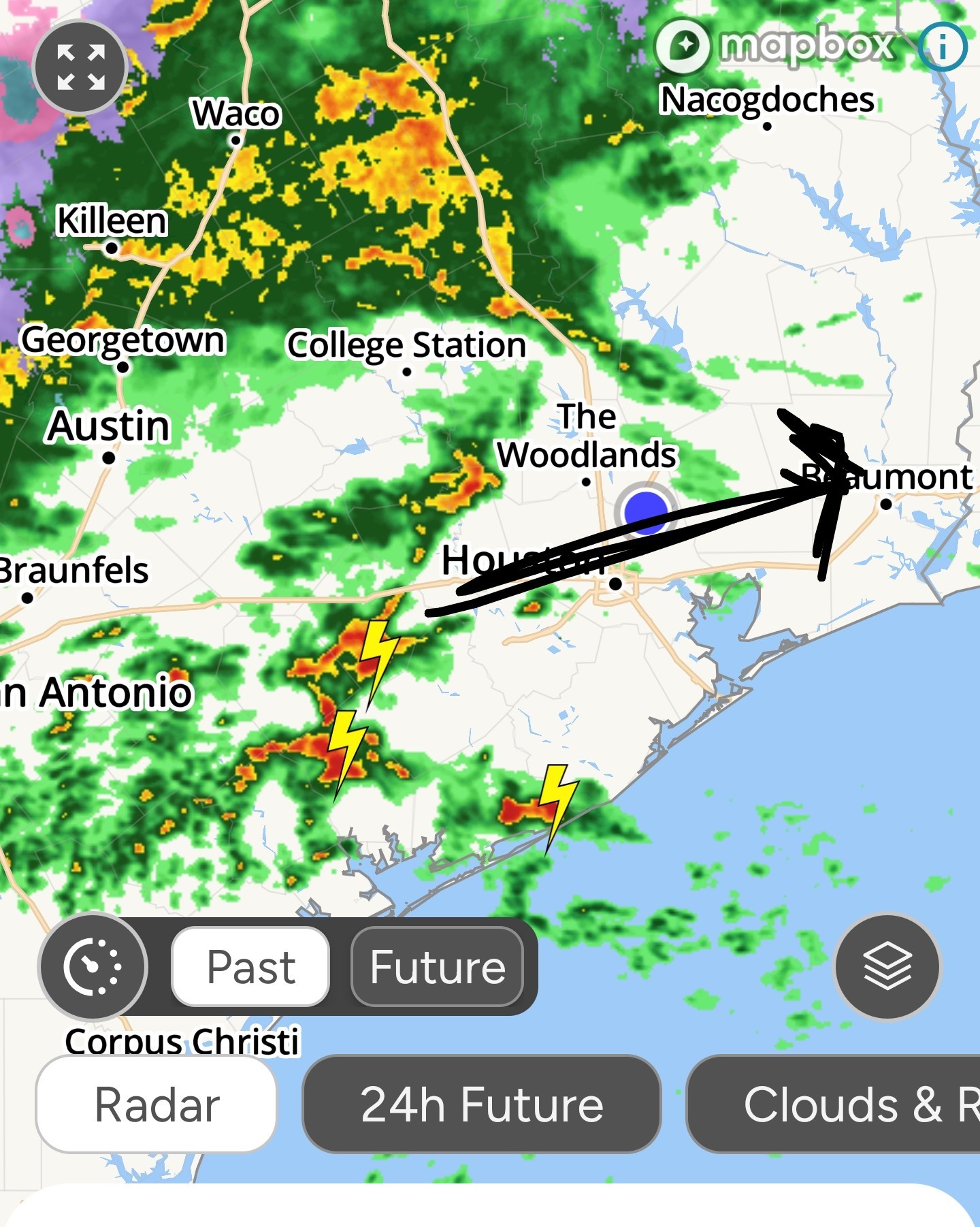


Mimilane, Txbutterfly and teatime + 6 more reacted Replies:

|
StormChaser : Good morning!
malpalface :
|
|
 StormChaser :
Good morning my friend. Just sitting here and noticed we just got rain.
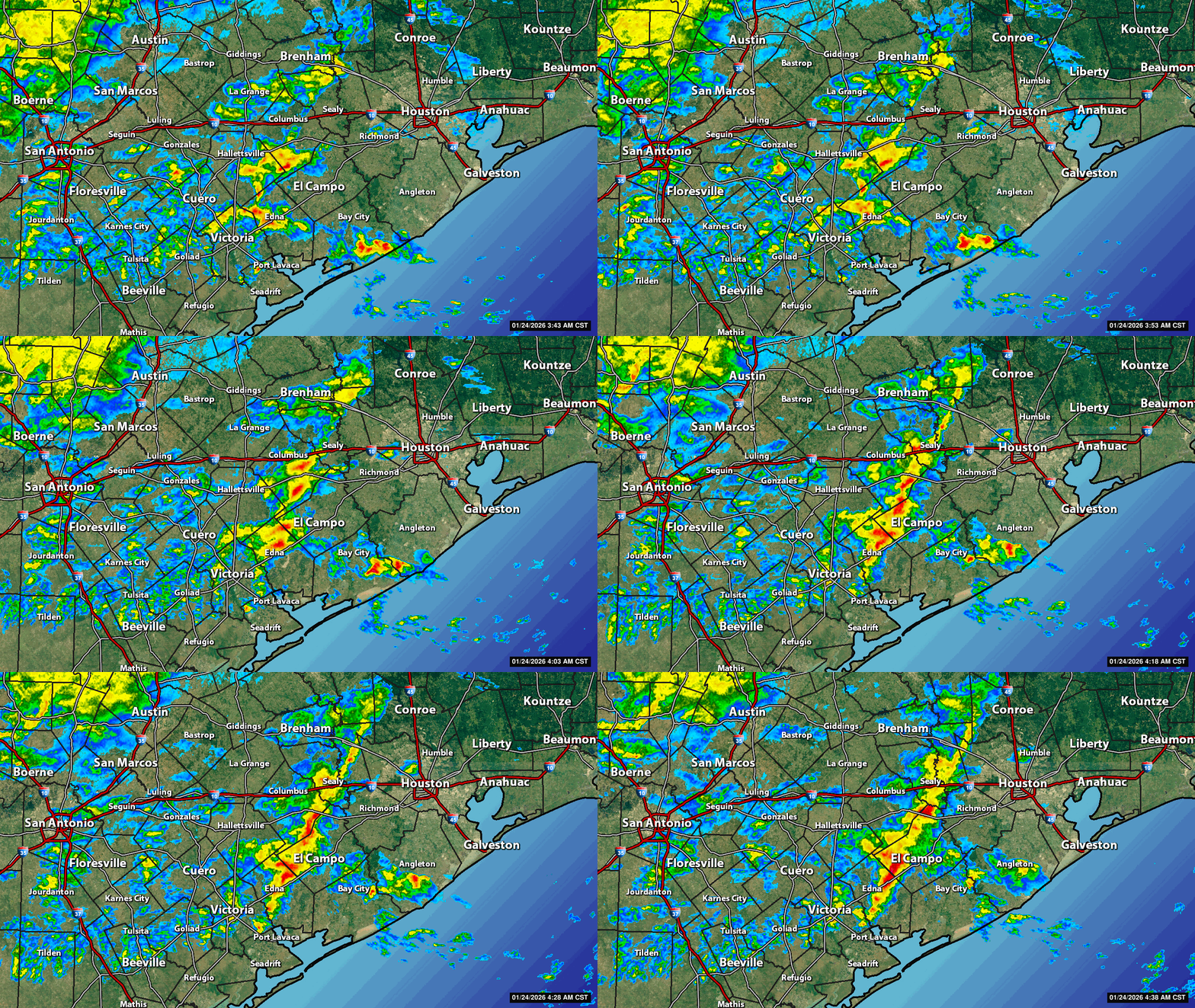
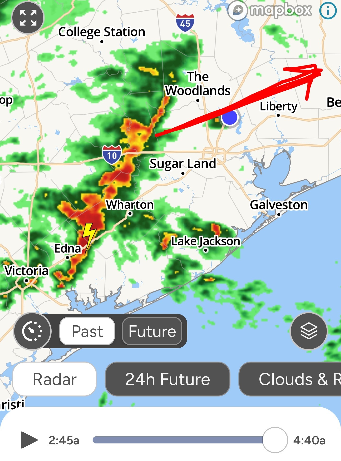
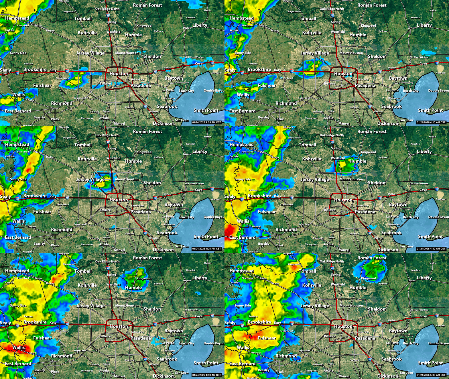
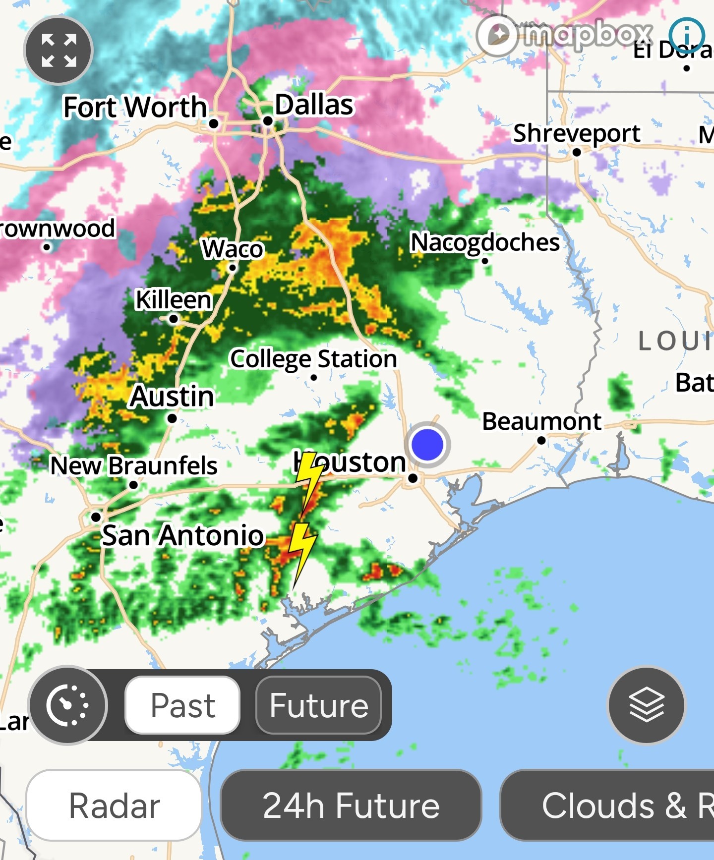
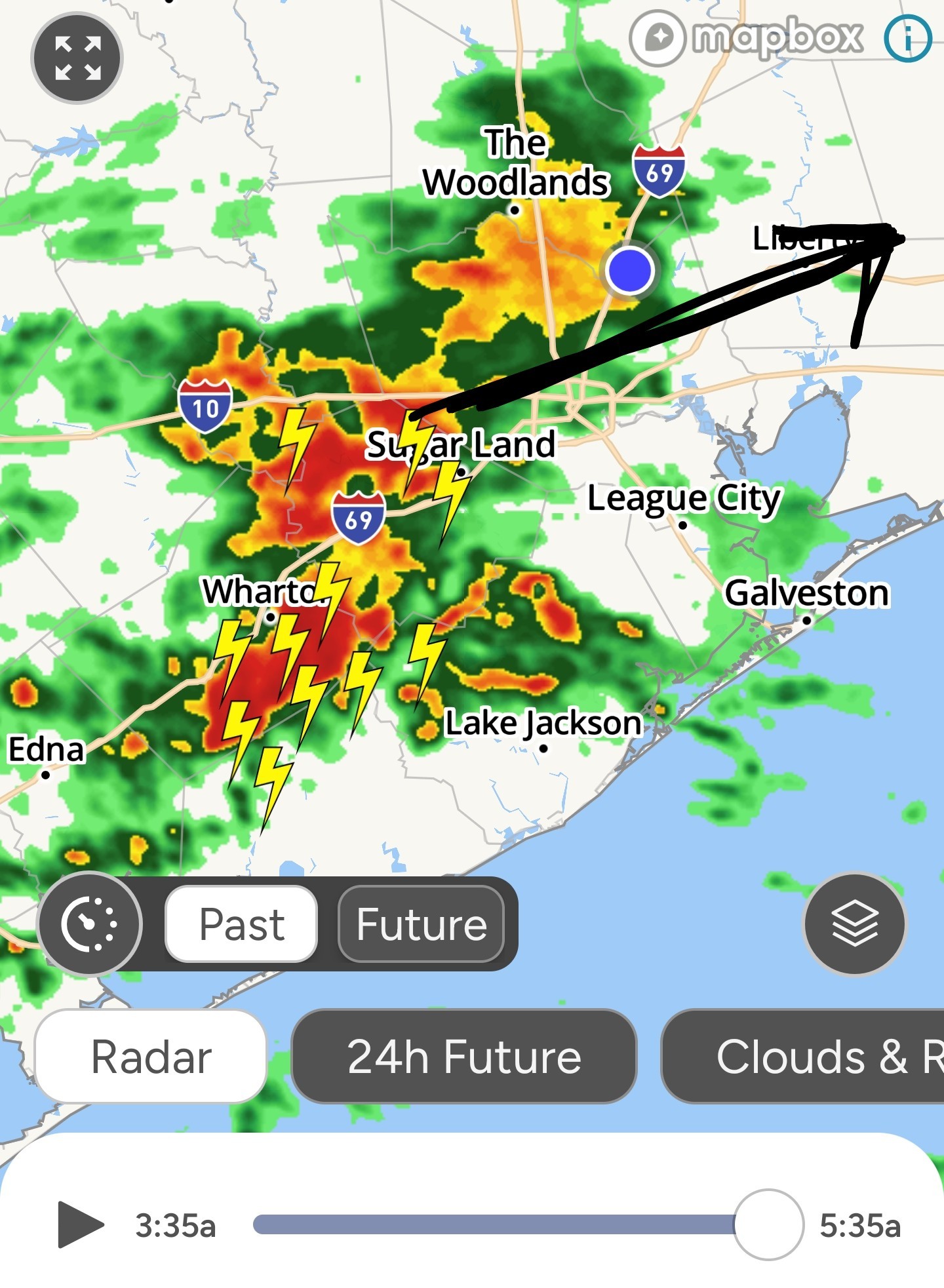 Donnawisdom StormChaser :
Good morning ladies. I woke up and heard a light rain. It's trash day for us so I put it out assuming trash will be picked up as usual. DH always takes care of trash however we could be getting a storm when he wakes. Those radars look ugly.

|
|
620AM The heaviest rain is south of I10. We have another round of heavy rainfall coming after this one. The heaviest rain with that is also supposed to be to or south but we'll still see good rain from it. 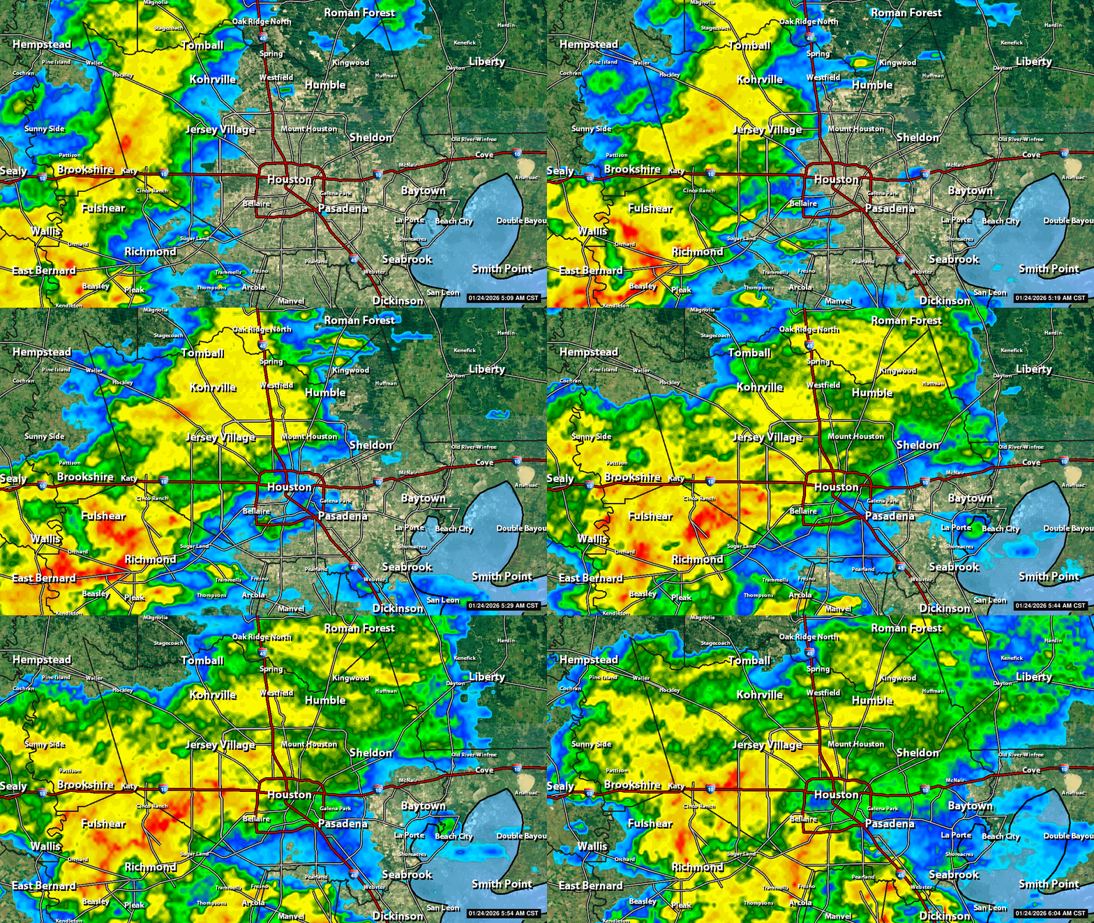 Looking at some of the future models for tonight, there are a few that show a batch of heavier "precipitation" after midnight & after the freeze line passes us. If that materializes, we'll have bigger accumulations of freezing rain/ice/sleet.
SteveT reacted 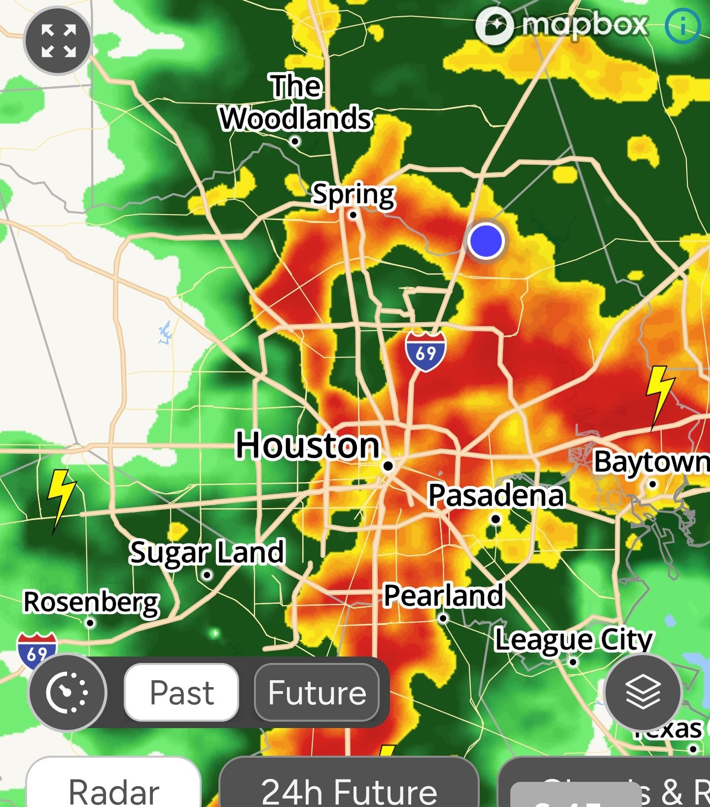
|
|
Cause why not add a flood threat to the bingo card! 😆 Heavy rainfall...Flash flooding possible Mesoscale Precipitation Discussion 0016
NWS Weather Prediction Center 531 AM EST Sat Jan 24 2026 Areas affected...southeast Texas Concerning...Heavy rainfall...Flash flooding possible Valid 241031Z - 241431Z Summary...Flash flood potential will increase over the next 2-4
hours near Houston Metro and surrounding areas. Discussion...Persistent warm advection across southeast Texas has
maintained elevated buoyancy atop a frontal zone draped east-to-west across the discussion area. This buoyancy, combined
with isentropic upglide and a weak mid-level disturbance approaching the region has triggered increasing deep convection about 60 miles west/southwest of Houston Metro. These cells were slightly elevated, but were also in an environment with ~1.5 inch PW values, supporting locally heavy rainfall. Recent MRMS data suggests 1 inch/hr rates beneath the stronger activity. On their current trajectory, these cells will migrate toward areas near Houston Metro and points south over the next couple hours or so. 1 inch/hr rain rates could contribute to urban ponding/excessive runoff especially if localized training can be established. Flash flooding is possible in this scenario. The flash flood threat in this region will likely last for about 2-4 hours or so. A strong cold front was surging southeastward along a line from near Victoria to Cotulla. This front will eventually undercut ongoing convection as it approaches the Gulf
Coast through 13-14Z (7-8am Central). Any flash flood threat should decrease some behind this front as colder air filters in
and contributes to stabilization.
NWS Weather Prediction Center
hours near Houston Metro and surrounding areas.
maintained elevated buoyancy atop a frontal zone draped east-to-west across the discussion area. This buoyancy, combined
with isentropic upglide and a weak mid-level disturbance approaching the region has triggered increasing deep convection about 60 miles west/southwest of Houston Metro. These cells were slightly elevated, but were also in an environment with ~1.5 inch PW values, supporting locally heavy rainfall.
Coast through 13-14Z (7-8am Central). Any flash flood threat should decrease some behind this front as colder air filters in
and contributes to stabilization.
|
|
StormChaser : If you drive south down Woodland Hills Dr in Trailwood the water ponds between Running Springs & Thousand Pines.
|
|
815AM The first batch of rain had moved to our east. Next batch will be this afternoon. 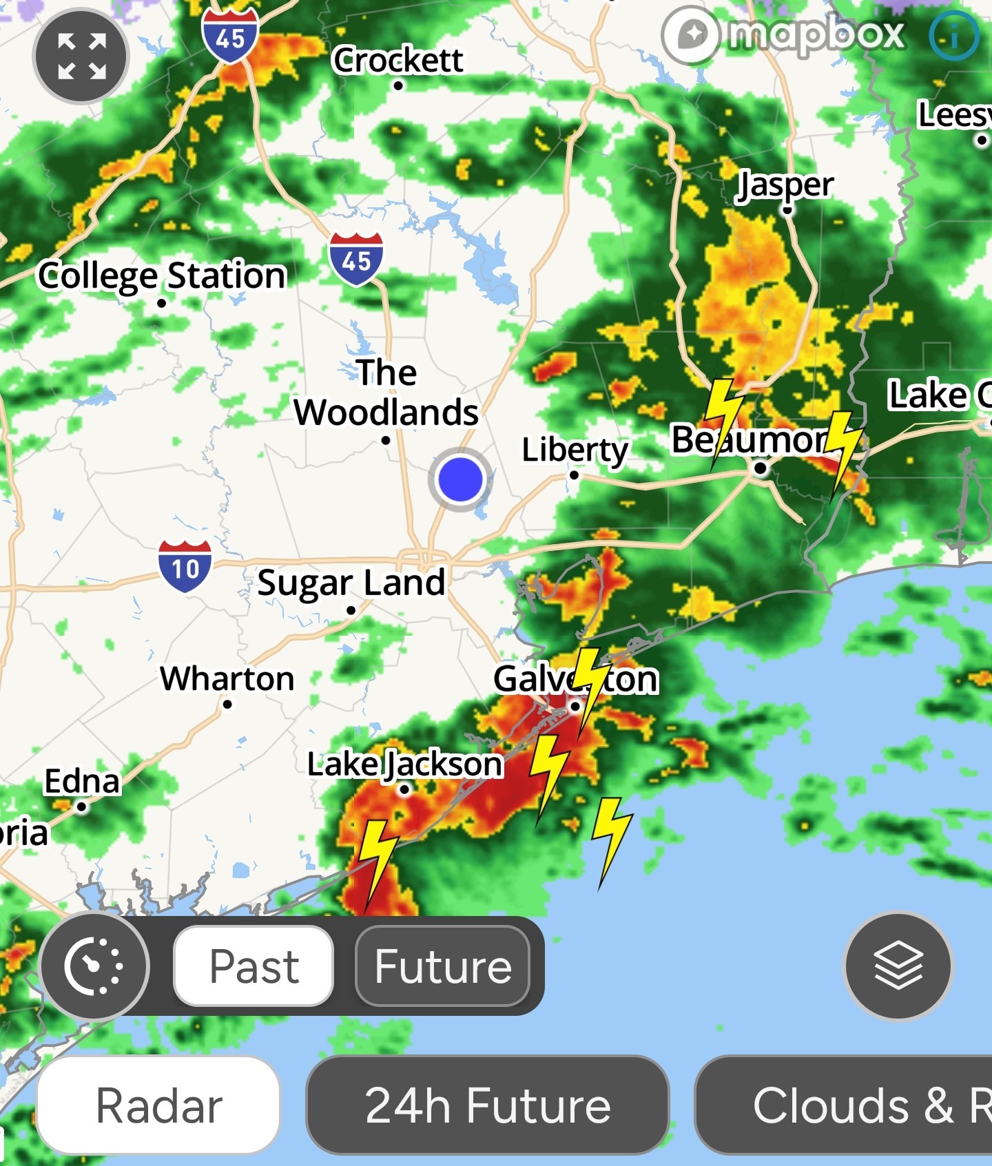
cbear reacted « Back to Chat
Views: 694
# Replies: 19