


Space City update- 12:15PM
Space City update- 12:15PM


Joined:
X days ago
# Posts:
X,XXX
Contributor Points:
X


Space City update- 12:15PM The worst of today's heavy rainfall is over, so we're stepping back to a Stage 1 flood alert
Eric Berger. Thursday, June 12, 2025 11:56 AM In brief:
*With the most potent rain-making storms now moving offshore, we are returning to a Stage 1 flood alert for the entire Houston region.
*Heavy rainfall remains possible on Friday, although we don't expect storms to be quite as organized as they were today. *The atmosphere is pretty well worked over and the strongest line of storms has now moved mostly offshore.
*As a result of this, we expect a fairly quiet afternoon and evening in the Houston metro area.
*We still expect to see some light to moderate showers for a few more hours today, but the trend will be one toward gradual clearing of the area. 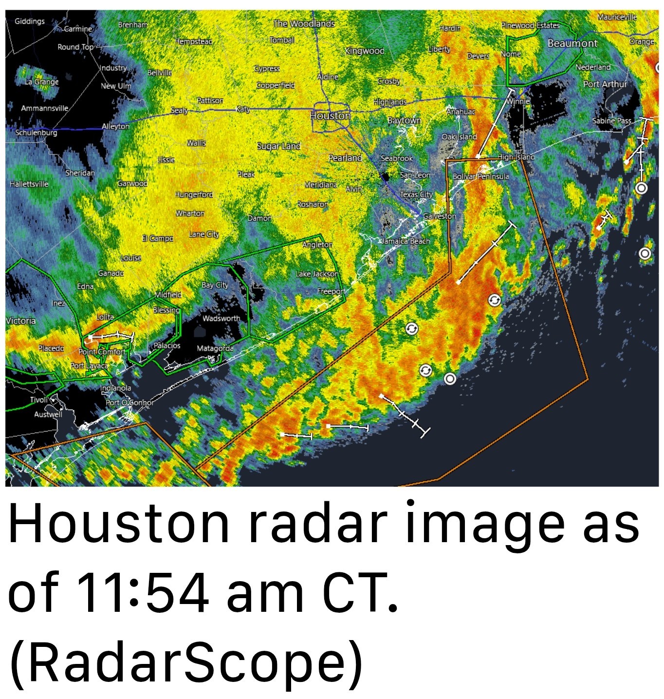 *If you're looking for a bright spot, look no further than temperatures, which as of noon are hovering around 70 degrees for most of the region.
*We don't see midday temperatures like this often in June.
*I expect highs to nudge upward, toward the upper 70s, before evening and slightly cooler overnight temperatures return. *I think conditions, in terms of rainfall, will generally be fairly calm overnight.
*However, by daybreak we may start to see some additional showers building in from the southwest, and we are likely to see another round of storms from the mid-morning through the afternoon hours across the region.
*I don't believe these storms will be as widespread as today's-in which some locations south and east of Houston picked up 6 inches-but the potential for heavy rainfall remains.
*We think a Stage 1 flood alert should cover us, but we'll be keeping tabs on the situation just in case.


Eric Berger.
*With the most potent rain-making storms now moving offshore, we are returning to a Stage 1 flood alert for the entire Houston region.
*Heavy rainfall remains possible on Friday, although we don't expect storms to be quite as organized as they were today.
*As a result of this, we expect a fairly quiet afternoon and evening in the Houston metro area.
*We still expect to see some light to moderate showers for a few more hours today, but the trend will be one toward gradual clearing of the area.
*We don't see midday temperatures like this often in June.
*I expect highs to nudge upward, toward the upper 70s, before evening and slightly cooler overnight temperatures return.
*However, by daybreak we may start to see some additional showers building in from the southwest, and we are likely to see another round of storms from the mid-morning through the afternoon hours across the region.
*I don't believe these storms will be as widespread as today's-in which some locations south and east of Houston picked up 6 inches-but the potential for heavy rainfall remains.
*We think a Stage 1 flood alert should cover us, but we'll be keeping tabs on the situation just in case.
Replies:
 StormChaser :
 Thanks for the update. Thankful for the rain we received and glad it wasn't as high as some places.
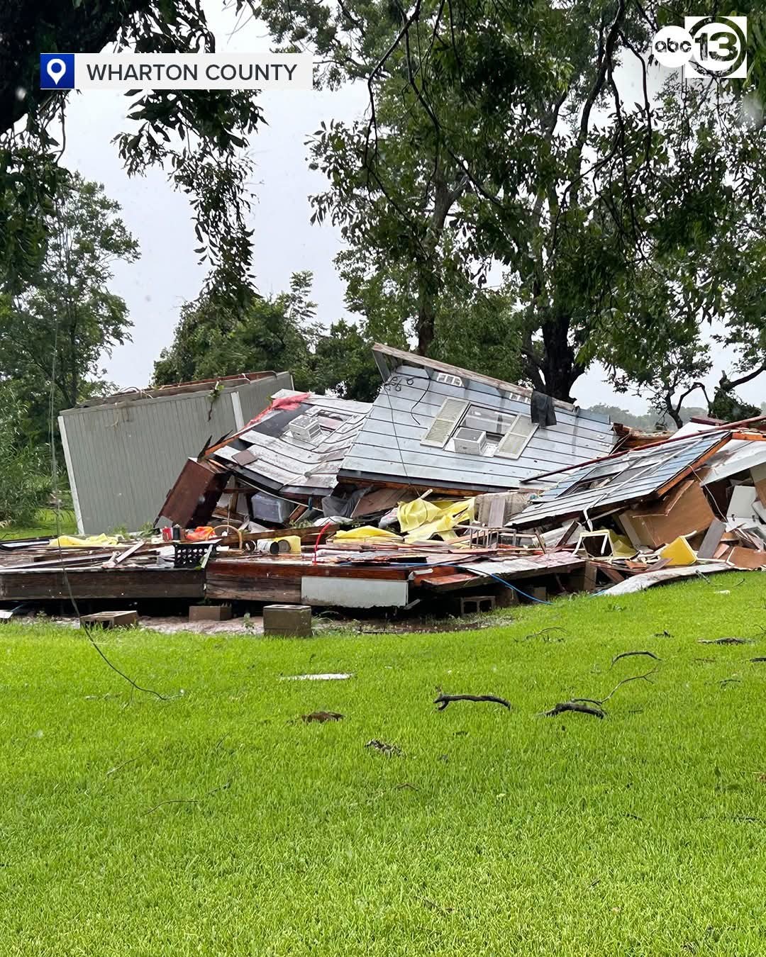
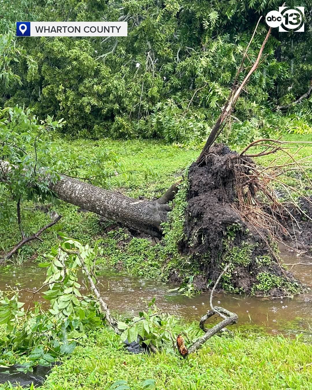
The NWS confirmed 2 tornadoes touched down in Wharton County. The state's department of emergency management is there to assess the damage. 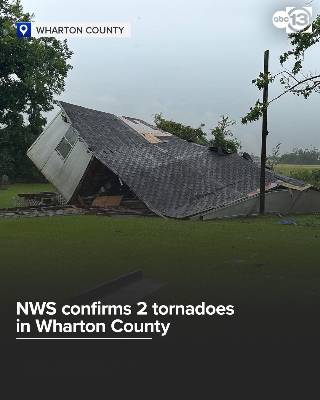
1.76" since midnight. 3.21" for the week. Round #4534 tomorrow - Friday *Some additional storm development is likely on Friday, and conditions may be most favorable for this closer to the coast.
*However, we cannot be sure about this. Overall, the pattern is a little bit less supportive of strong storms on Friday, and I don't expect things to be as widespread or significant as Thursday, but the threat of heavy rainfall will nevertheless be there.
*Highs will be around 90 degrees, as skies should be partly sunny.
*However, we cannot be sure about this. Overall, the pattern is a little bit less supportive of strong storms on Friday, and I don't expect things to be as widespread or significant as Thursday, but the threat of heavy rainfall will nevertheless be there.
*Highs will be around 90 degrees, as skies should be partly sunny.
« Back to Chat
Views: 451
# Replies: 5