


Thursday radar (2:30pm update)
Thursday radar (2:30pm update)

This discussion has been locked.

Joined:
X days ago
# Posts:
X,XXX
Contributor Points:
X


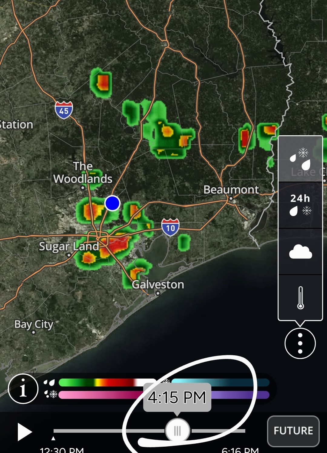
Thursday radar update 12:30pm â— 230pm update in comments Current radar shows showers have popped up to our north, heading south. Right now, that area looks to go to our east but the radar shows showers popping up all around Harris county. These storms from the north can produce gusty winds at times so just be aware. 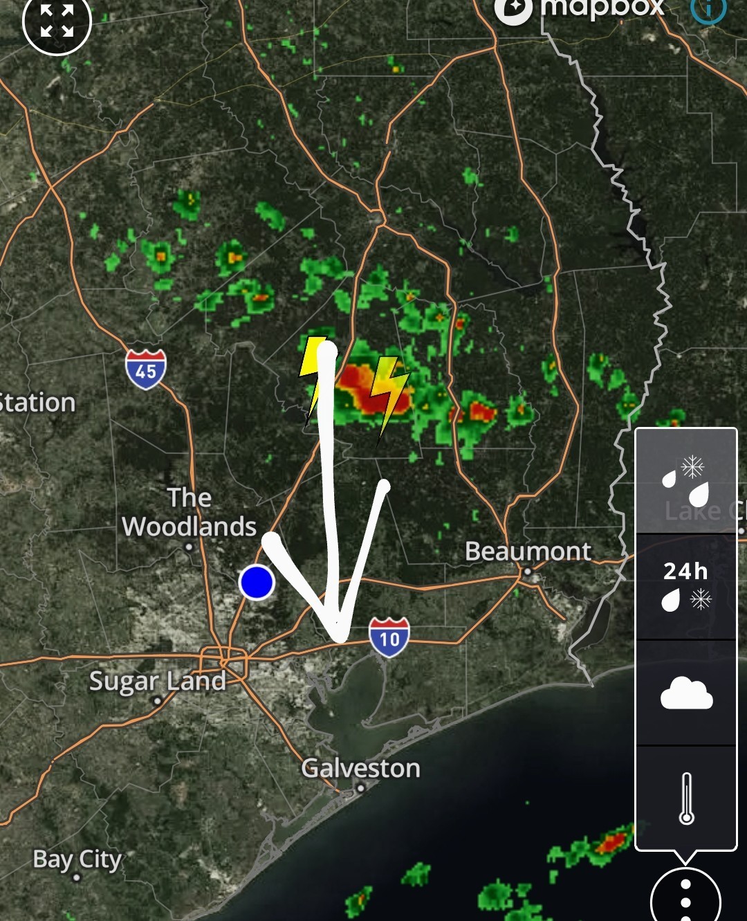 Future radar 4:15pm


Discussion Summary:
Thursday Radar Update: Showers Popping Up to the North, Potential for Gusty Winds in Harris County
Thursday Radar Update: Showers Popping Up to the North, Potential for Gusty Winds in Harris County
Discussion Insights:
Ask a question about this discussion and an AI bot will try to give an answer.
Ask a question about this discussion and an AI bot will try to give an answer.
Replies:

|


|
|

|
|
220pm So, yes that area of storms I posted about earlier did go east of here and is now near the coast. These are fast movers! A newer area has popped up right over Huntsville, moving south. 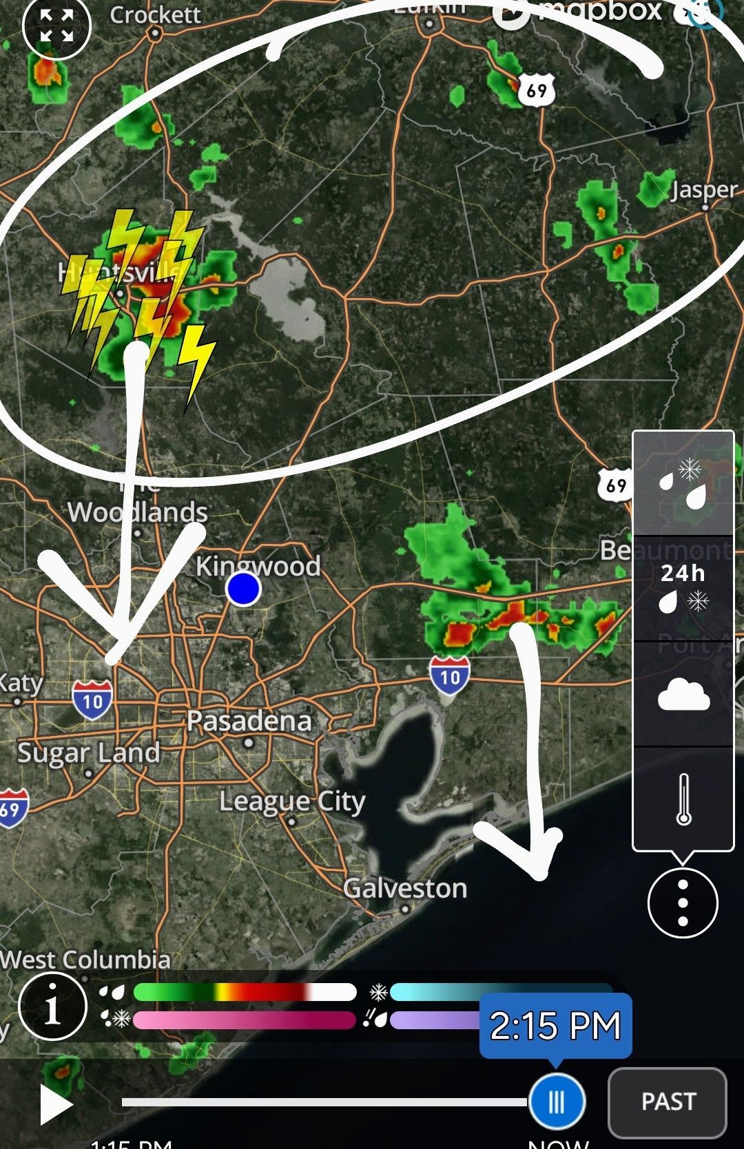 The circled area will be the area to watch for storm formation into late afternoon. Anything that develops there will move south towards the Houston area. If you get under one of these storms, expect short lived/heavy rainfall but nothing that will cause flooding issues or anything like that. 👠It would help with temps tremendously so bring it. As of right now, if we do get anything, it looks to be after 4pm. Fingers crossed we get lucky. 🤞
My plants are finally looking not-awful so I'm here for this!! 🌧ï¸
|
|
Thanks for the update! We got nearly half an inch yesterday afternoon. Love to see more!
I did my part for the rain dance...whose next?
Weathergirl5 : Thank you but all we got in BBV was a little shower. I (really my lawn and shrubs) really need about 2" of some good slow rain. My poor plants and shrubs are really looking droopy - maybe from the heat. This discussion has been locked.
« Back to ChatViews: 1,061
# Replies: 9